
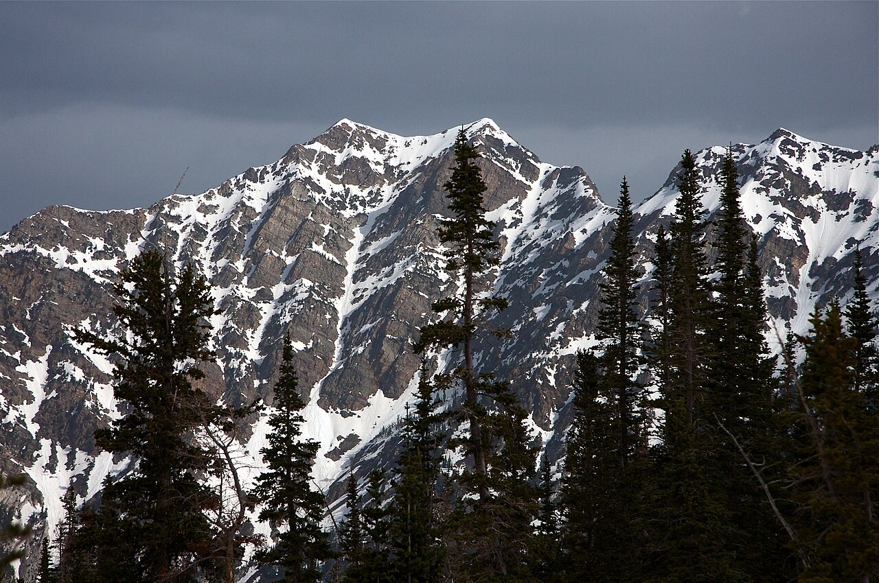
Two summits on Cottonwood Ridge
The USGS Dromedary Peak quadrangle identifies the feature as Twin Peaks. The local name refers to Broads Fork, which drains toward Big Cottonwood Canyon. The Wasatch Mountain Club records these peaks and American Fork Twin Peaks farther southeast as separate climbs.
What the ice left in the canyons
Ice once flowed down the existing valleys on either side of the ridge, widening them and leaving ridges of rock and sediment called moraines. On the bedrock near Lake Blanche and Sundial Peak in Big Cottonwood Canyon, the Utah Geological Survey points to polished surfaces and scratches left by moving ice.
Twin Peaks Wilderness
The Utah Wilderness Act of 1984 placed part of the Wasatch-Cache National Forest around the peaks into the National Wilderness Preservation System. The protected area extends across the high terrain between the two Cottonwood canyons.