
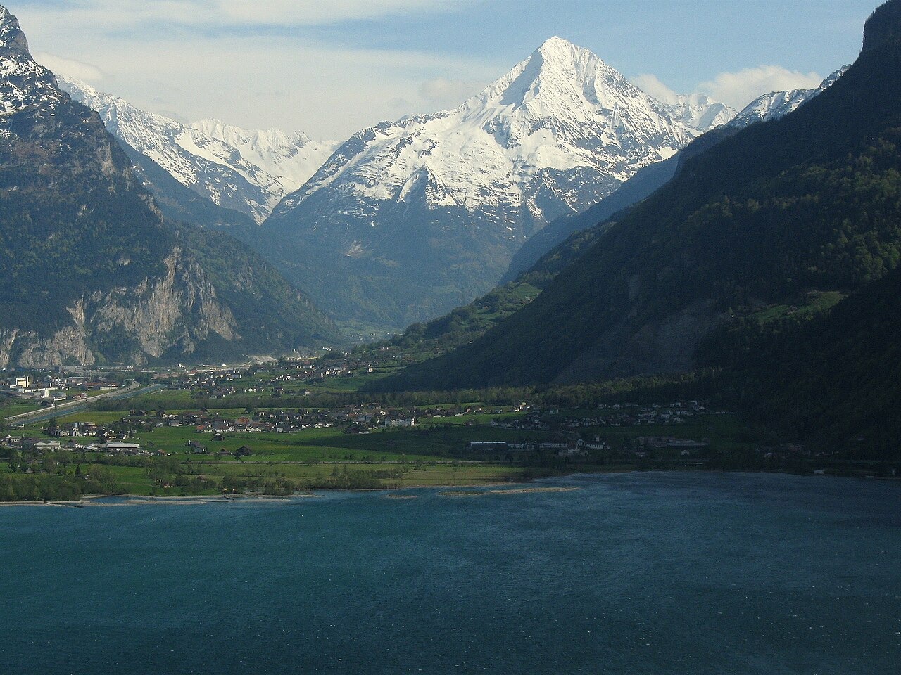
Pyramid above the Reuss
The mountain presents its full pyramidal outline above the Reuss valley, a profile documented in Swiss Alpine Club descriptions and visible from as far as Lake Lucerne. Geological Atlas fieldwork on the Amsteg sheet shows that the west and southwest flanks carry thin granite intrusions mapped within older crystalline rock, with granite-like diatexite recorded locally. The coherent Aar Granite formation, well expressed near the Fellibach contact, thins and pinches out or is obscured beneath older crustal rock further east. Aar granite forms a broader belt further northeast, near the Bristensee, a lake occupying a glacially excavated rock basin. Earlier mapping of the formation as continuous across the upper flanks can give a misleading impression of the actual distribution.
Two Summits and the Ridge Between
A published Swiss Alpine Club account of a climb in the Felli valley area describes a party reaching the south summit over steep, friable rock before crossing a corniced ridge to arrive at the northern main summit in fog. The narrative notes that the two tops appear close in height, with the route approached from the south. Earlier visits to the south summit specifically are attributed to a party led by Josef Z'graggen with von Bülow in 1889, and again in 1893 with Dr. Forrer and Weinmann, also guided by Z'graggen.
Snow on the Northern and Northeastern Slopes
Canton Uri forester Max Oechslin contributed repeated observations of snow limits on the northern face of Bristenstock and the Belmeten area to the Swiss Alpine Club's periodic glacier reports, with findings published in the 1930 report. A separate SAC route report records an ascent on 19 April 1943 by Otto Gerecht and companions, who left their skis high in a triangular snowfield between the northeastern and northwestern ridges before climbing the final section on foot over firn. The report classifies this as a first winter ascent.