
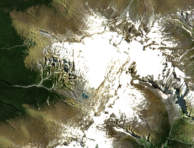
The shape of the glacier
In March 2011 the glacier covered about 2.03 square kilometres and extended from 2,389 down to 1,706 metres. The upper part was steeper than the broader, more gently sloping lower section.
How the ice is measured
Researchers measure winter gain with snow probes and pits that reveal depth and density. Stakes drilled into the ice help them measure how much of the surface melts by the end of summer.
An eleven-year record
For 2005 to 2015, the study led by Nicolas Cullen found an average annual surface loss of 102 millimetres of water equivalent. That unit expresses the loss as the depth of liquid water it would yield when averaged across the glacier.