
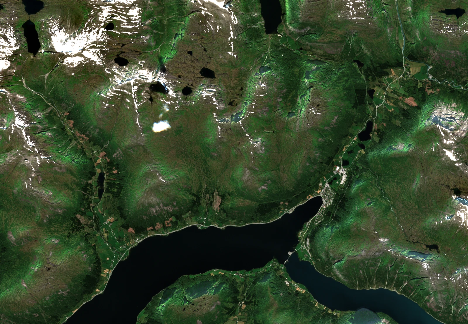
An inland fjord shaped by ice
The Geological Survey of Norway describes Jølstravatnet as an inland fjord, a long freshwater lake fed by U-shaped valleys. As the ice retreated, small glaciers and short advances of the inland ice left ridges of sediment. One group of these end moraines survives near Dvergsdalen on the south shore. Later, landslides and streams deposited fan-shaped bodies of sediment, some of which extend into the lake.
A gap in the terrain gives a view south from the upper ridge to part of the main lake, roughly 5.3 km away. In the satellite image, the long basin bends towards Skei. Kjøsnesfjorden branches away to the right, towards the east.
From the summer farms to the ridge
The local trekking association records an old path from Vasskaret to the summit, once marked as a checkpoint for outdoor exercise. On 20 July 2015, Arnt Flatmo found stepping stones that volunteers had placed over wet ground above the summer farms of Helgheimsstøylen. Snow covered the path near 900 m that day. On 11 October 2026, Janne Eikås photographed early snow on the ridge and the higher Skjorta behind the summit.
A royal decree established the Naustdal–Gjengedal protected landscape on 9 January 2009. The protected area’s building inventory records a hut or shelter in the Brekkefjellet area under the former municipality of Jølster.
Bronze Age barley by the lakeshore
At Helgheim on the lakeshore below the mountain, University Museum of Bergen archaeologists found pollen evidence of barley cultivation in the Early Bronze Age. They recovered charred barley grains from samples dating to the Late Bronze Age and Pre-Roman Iron Age. Near the village church, they documented six cooking pits, one of which had been dated to 80–250 CE.