
Summit and Setting
The U.S. Forest Service topographic map marks both a lookout and a visitor center at the top of Brasstown Bald. It also shows the boundary of the nearby Brasstown Wilderness.
The observation area looks across successive ridges and valleys of the southern Blue Ridge.
Blue Ridge Terrain
Plott Cove lies roughly four kilometres west of Brasstown Bald. The Forest Service has set it aside as a Research Natural Area within the same national forest.
Russell–Brasstown Scenic Byway
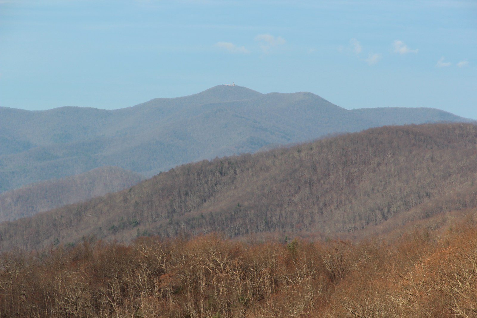
The photograph on this page shows the mountain from the Russell–Brasstown Scenic Byway. The summit rises above the forested ridges of northern Georgia.