
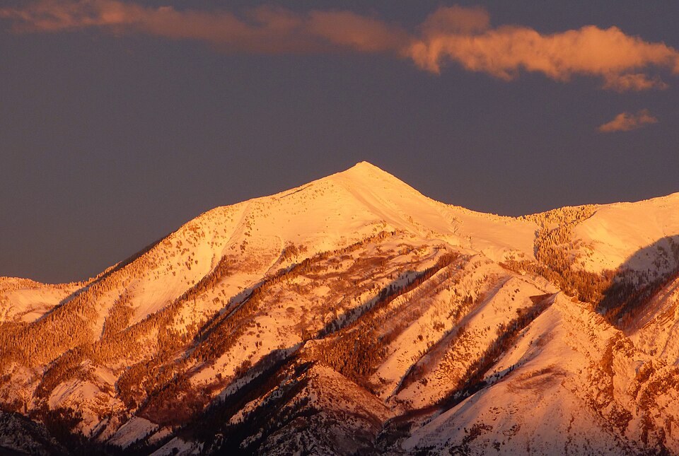
Ridgelines and Canyon Walls
Historic topographic mapping shows the peak flanked by distinct ridges running to the northeast and southwest, with American Fork Canyon cutting deeply through the range nearby. The mountain stands at a point where terrain draining toward the canyon separates from slopes feeding the valleys above Alpine. The summit was already labeled on the 1948 USGS Timpanogos Cave quadrangle, placing the name in federal topographic records.
The Lone Peak Wilderness
The Lone Peak Wilderness, whose boundary documents are held by the U.S. Forest Service, encompasses Box Elder Peak along with the neighboring summit of Lone Peak for which the wilderness is named. A federal Forest Service study records that this wilderness became Utah's first federally designated wilderness area when it was established in 1978. The designation covers a broad landscape rather than the single summit of Lone Peak alone.
County Disambiguation
Utah records two summits sharing the Box Elder Peak name, each distinguished by its county of location. The peak in Utah County sits north of Mount Timpanogos along the Wasatch Range, while the peak in Box Elder County lies in a separate part of the state farther north. Official geographic records use the county name to differentiate the two, so specifying Utah County or Box Elder County resolves the distinction.