
Borrowdale Volcanic Rocks and the Work of Ice
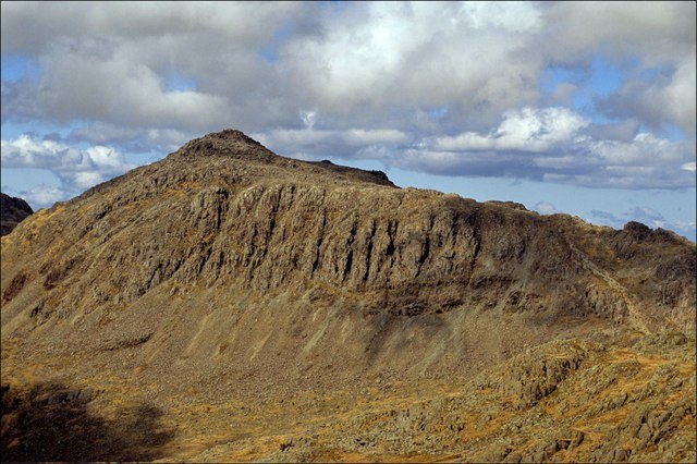
The British Geological Survey identifies Bowfell and neighbouring Crinkle Crags as part of the Borrowdale Volcanic Group, ancient volcanic rocks underlying much of the central Lake District's high ground. Glaciation subsequently moulded that resistant material into the crags and hollows of the mountain's upper slopes—two distinct chapters that the BGS distinguishes.
Great Langdale and Mickleden Below
Great Langdale is itself a glacial landscape. The tributary hollow of Mickleden runs toward the base of the fells, and National Trust records note traces of past human activity in the valley—evidence of use predating modern fell-walking. The transition from the enclosed valley floor to Bowfell's exposed volcanic terrain above is abrupt.
Bowfell in the Hill Inventory
At approximately 903 metres, Bowfell ranks among the higher Lake District fells. The hill inventory records Bowfell North Top as a separate lower height—a distinction of classification rather than pronounced terrain separation. The mountain is most closely associated with Great Langdale and the volcanic landscape it shares with Crinkle Crags to the south.