
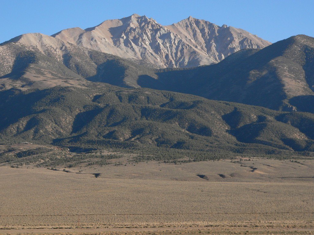
Desert Range, Valley Floor
The Nevada Division of Water Resources describes the White Mountains as forming the western edge of the Fish Lake Valley basin, placing the high crest in direct vertical contrast with the arid terrain immediately to the east. Nevada Bureau of Mines and Geology documentation of the summit confirms this relationship between the range crest and the valley below.
Federal Administration
Land encompassing Boundary Peak was added to Inyo National Forest during a 1908 expansion into Nevada. Congress later designated a wilderness around the summit through the Nevada Wilderness Protection Act of 1989, a separate legal event from that earlier forest inclusion.
State Highpoint Near a State Line
The peak's name reflects its position near the Nevada-California state line, though mapping places the summit in Nevada rather than precisely on the border. The proximity of higher summits in the same range, including Montgomery Peak across the state line, gives Boundary Peak a geographic identity shaped by both political division and the natural extent of the White Mountains.