
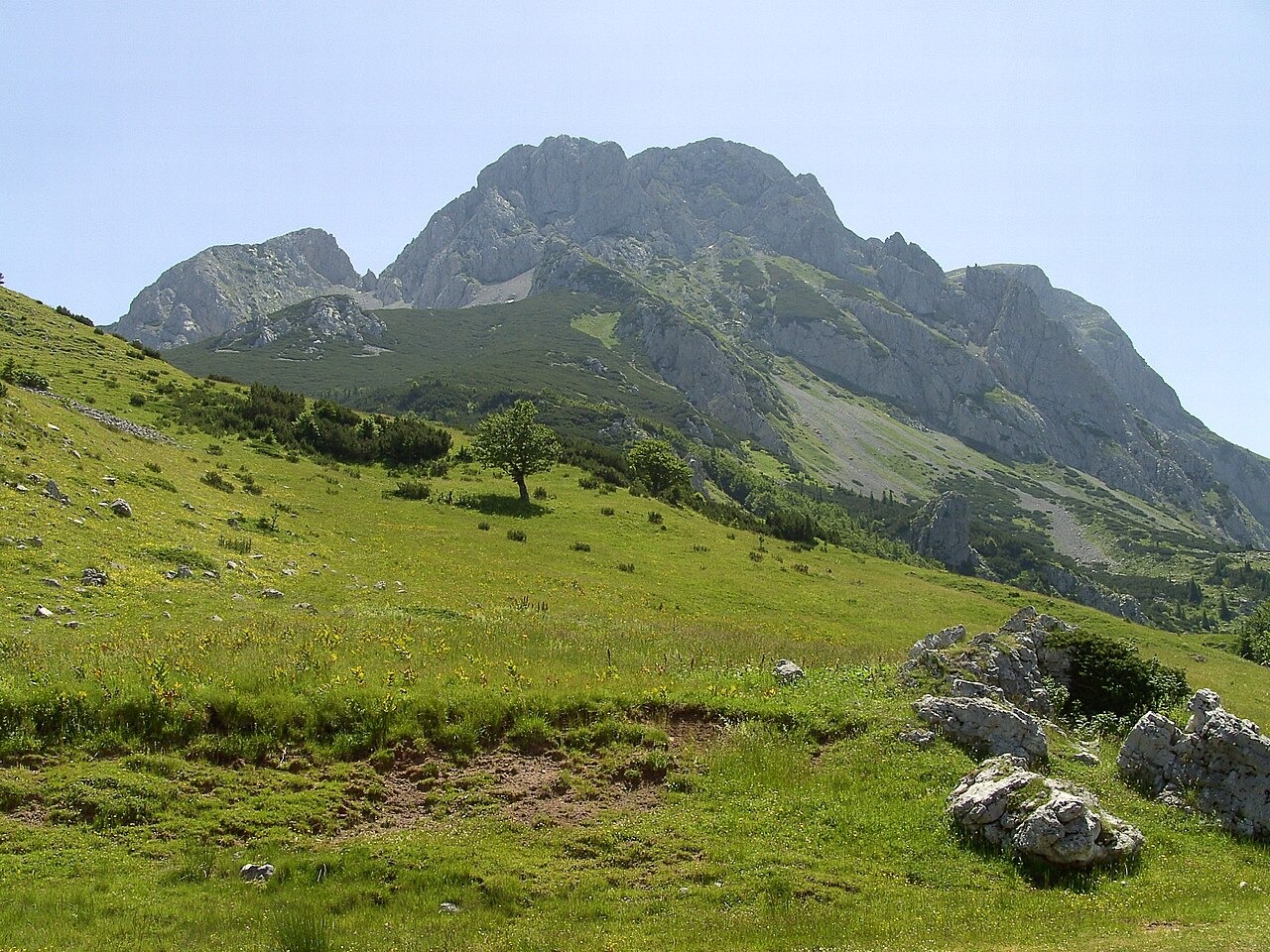
Rock, Ice, and the Terrain of the Massif
Sutjeska National Park identifies Mesozoic limestone among the rock types present in the Maglić massif, alongside older formations and volcanic rocks. Above the treeline, limestone crags and fields of scree define the upper terrain, with landforms across the massif showing evidence of earlier glaciation. Trnovačko Lake, distinctively heart-shaped and lying at approximately 1,500 m within Montenegro's Piva region, sits across the ridge on the southern side of the massif.
The Perućica Forest and the History of Protection
A field survey in 1938 in the Perućica river basin documented stands of beech, fir, and spruce, with some individual trees exceeding 50 m in height. The area was withdrawn from forestry use in 1952 and designated a strict reserve in 1954, before being incorporated into Sutjeska National Park when the park was established in 1962. Perućica has since been included on Bosnia and Herzegovina's UNESCO tentative list as a proposed site.
Prijevor, the Vidovdan Ascent, and the Mountain's Name
The viewpoint at Prijevor sits below the mountain within Sutjeska National Park and is documented as a principal approach perspective for the summit. Trnovačko Lake on the far side of the ridge has been historically associated with organised climbing, and the official tourist board of Republika Srpska documents the Vidovdan ascent gathering at the lake as a recurring tradition. Sutjeska National Park notes a local etymology connecting the name Maglić to magla, the South Slavic word for fog.