
Terrain and Setting
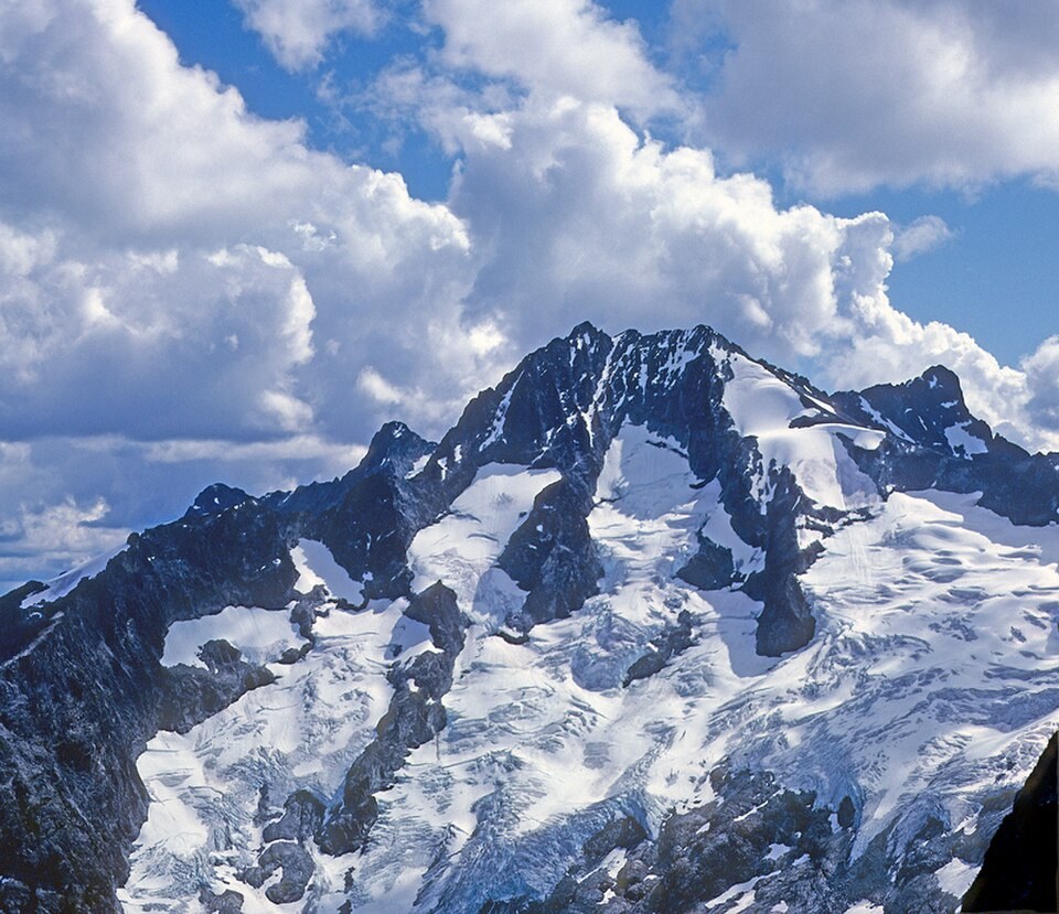
The peak overlooks valleys west of Lake Chelan, with its north face presenting the most dramatic aspect—visible in USGS photographs taken from the south side of Mount Lyall. The mountain's bulk dominates the upper Chelan Mountains, a subrange distinct from the main North Cascades crest.
1937 Ascent and Early Record
The NPS historical study records a 1937 ascent, and the Mazamas annual index documents expedition photographs from that same year, placing a Mazamas party on the peak. A 2006 climber's account describes a tin-can register on the west summit containing entries dated 1952 and 2003; those entries were on the west top, not the main summit, and the account makes no claim that the container remains in place.
Summit Topography and Named Glacier
The 2006 account explicitly distinguishes the main summit from a separate west summit, a distinction that matters for understanding the peak's ridge structure. The mountain also carries a named glacier—recorded in USGS sources as the Mary Green Glacier—which occupies a portion of the peak's flanks and contributes to Bonanza's glaciated character within the Chelan Mountains.