
Plateau Landform and Watershed
The ASEAN Biodiversity Centre records the national park's maximum elevation at 1,079 m, with associated sources placing the historic hill station area at 1,071 m and government resort accounts describing the mountain at around 1,075 m, figures consistent with a broad upland rather than a discrete summit. The plateau forests sustain the Touk Chhou river catchment serving Kampot province.
French Hill Station and Colonial Chronology
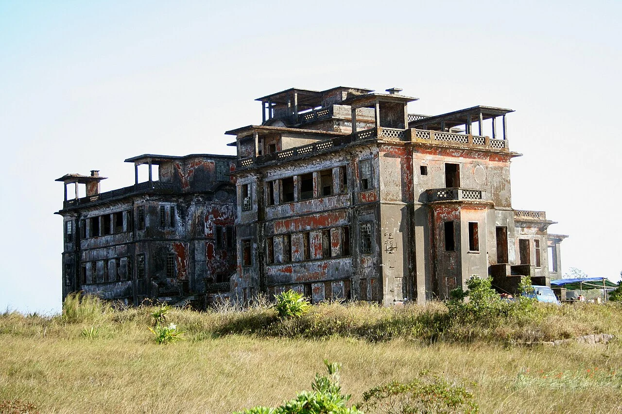
French colonial administrators established a hill station on the Bokor plateau in 1922, constructing a palace hotel as a highland retreat during the French Indochina protectorate. The ASEAN source places the station at approximately 1,071 m. Following Cambodian independence, the site was revived as a resort during the 1960s under Cambodian administration, extending the recorded occupancy of the plateau.
Elephant Mountains and Regional Setting
Bokor Mountain forms the defining landform of the Elephant Mountains in Kampot province, itself a southeastern arm of the Cardamom Mountains. The Touk Chhou river descends from the plateau directly toward Kampot town and the Gulf of Thailand coast, tracing the elevation gradient that connects the highland catchment forest to the provincial lowlands within a short horizontal distance.