
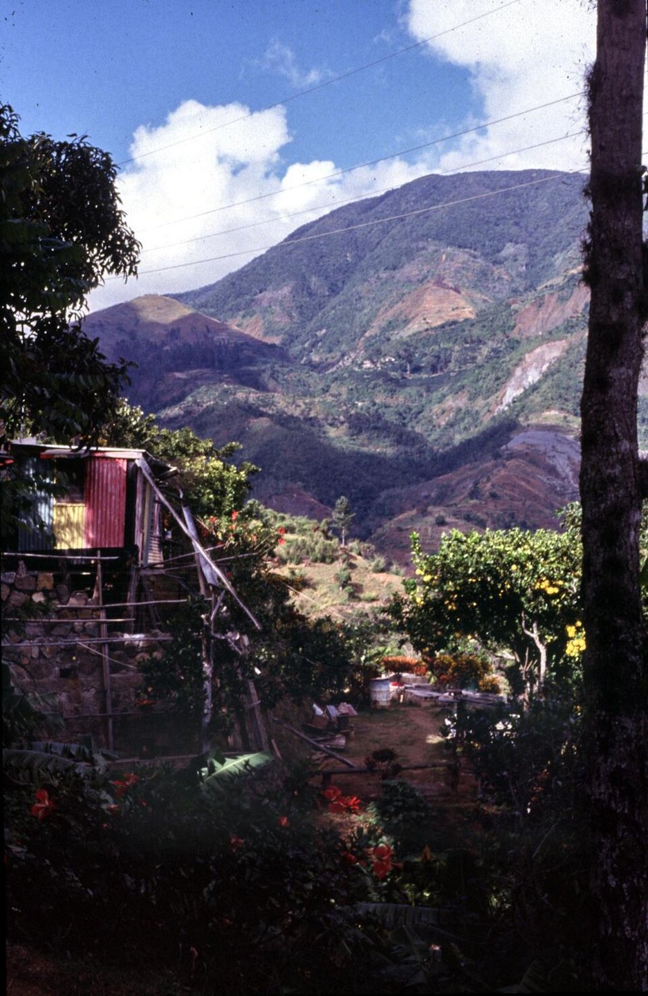
Terrain
The Blue Mountains owe their relief to processes documented in USGS regional research on rapid exhumation, which forced metamorphic rocks upward while erosion carved the steep ravines and ridgelines across the range. The Grand Ridge runs along the spine of the mountains, with forest cover on the upper slopes and pronounced elevation changes across the terrain.
Maroon History and Cultural Heritage
The Blue and John Crow Mountains landscape was inscribed on the World Heritage List in 2015 as a mixed natural and cultural site. Jamaica's nomination dossier documents the Windward Maroons — communities formed by people who escaped enslavement — and their use of the wider mountain terrain for resistance, including paths and settlements recorded across the inscribed landscape.
Coffee Cultivation
The slopes of the Blue Mountains support a regulated coffee-growing region whose boundaries are defined under Jamaican law. The Coffee Industry Board was established in 1950, and the production zone is governed by an origin designation that specifies the geographic area on the mountain slopes, separate from the summit.