
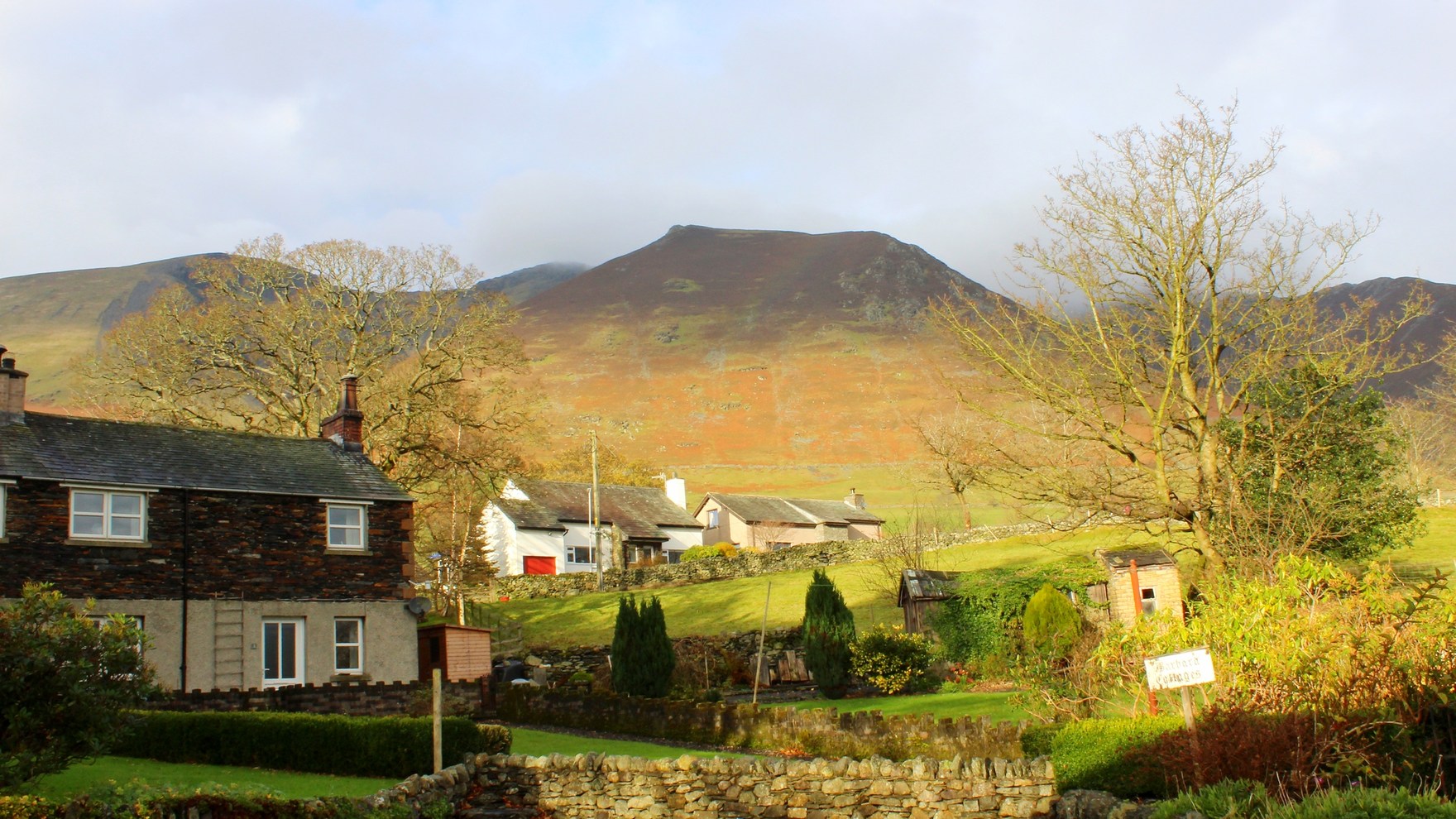
Summit and Profile
The high point of Blencathra is Hallsfell Top, at about 868 m. The saddle shape visible from below accounts for the name Saddleback, which has long run alongside the Blencathra form without replacing it. A lead and zinc mine operated on the fell from the early nineteenth century to about 1880.
Geology
The British Geological Survey records rocks of the Skiddaw Group on Blencathra as hardened by heat from the nearby Skiddaw granite. These rocks originated as deep-water sediments. The fell is not composed of granite itself, and the hardening reflects the contact effect of that intrusion on the sedimentary layers above it.
Ridge Terrain
Hall's Fell Ridge rises from the south toward the summit. Separately, on the eastern side of the fell, Sharp Edge forms an arête above Scales Tarn and approaches Foule Crag. Sharp Edge is a distinct landform on Blencathra and does not mark its summit.