
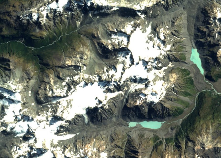
The Heim Glacier and early surveys
In his 1910 account published in volume 43 of the Transactions of the New Zealand Institute, Robert Speight described the Heim Glacier as originating in a snowfield bounded by Malcolm Peak to the west and Blair Peak to the north, flowing as a tributary into the Lyell Glacier. Speight named the ice body after Swiss glaciologist Albert Heim, following the pattern of glacier naming introduced by Julius von Haast in the same basin. The 1934 account places the Lyell and Ramsay glaciers at the headwaters of the Rakaia close to the main divide, grouping Blair Peak with neighbouring summits Malcolm Peak, Mount Whitcombe, and Louper Peak (now Lauper Peak).
Maxwell Gage's 1951 paper in the Journal of Glaciology drew on observations beginning with Haast in 1865 to document nonuniform recession across the two glaciers. At the Ramsay Glacier in 1865, Haast recorded the ice tongue extending across the valley close to Meins Knob while meltwater from the Lyell passed between the ice and the rock wall.
Kāi Tahu names in the Rakaia catchment
The Kā Huru Manu project of Te Rūnanga o Ngāi Tahu records that a map of traditional names for the wider Rakaia catchment was probably drawn by a Kāi Tahu informant for Julius von Haast around 1865. That map recorded Rakaia-wai-kī for the southern branch of the Rakaia, Waitāwhiri for the Wilberforce, and Rakaia-wai-pākihi for the Mathias River. The project also recounts the story of Raureka crossing a pass into the catchment. A Kāi Tahu elder drew a map of that traditional route over Noti Raureka (Browning Pass) in 1865.
The South Ridge ascent in 1932
The New Zealand Alpine Club's ClimbNZ records the first ascent of Blair Peak by the South Ridge in December 1932, naming H. W. (Sandy) Cormack, Lloyd Wilson, and Sidney (Archie) Wiren as the climbing party. Published route descriptions identify the Heim Plateau as a feature of the approach and note rock sections alongside glacier terrain.