
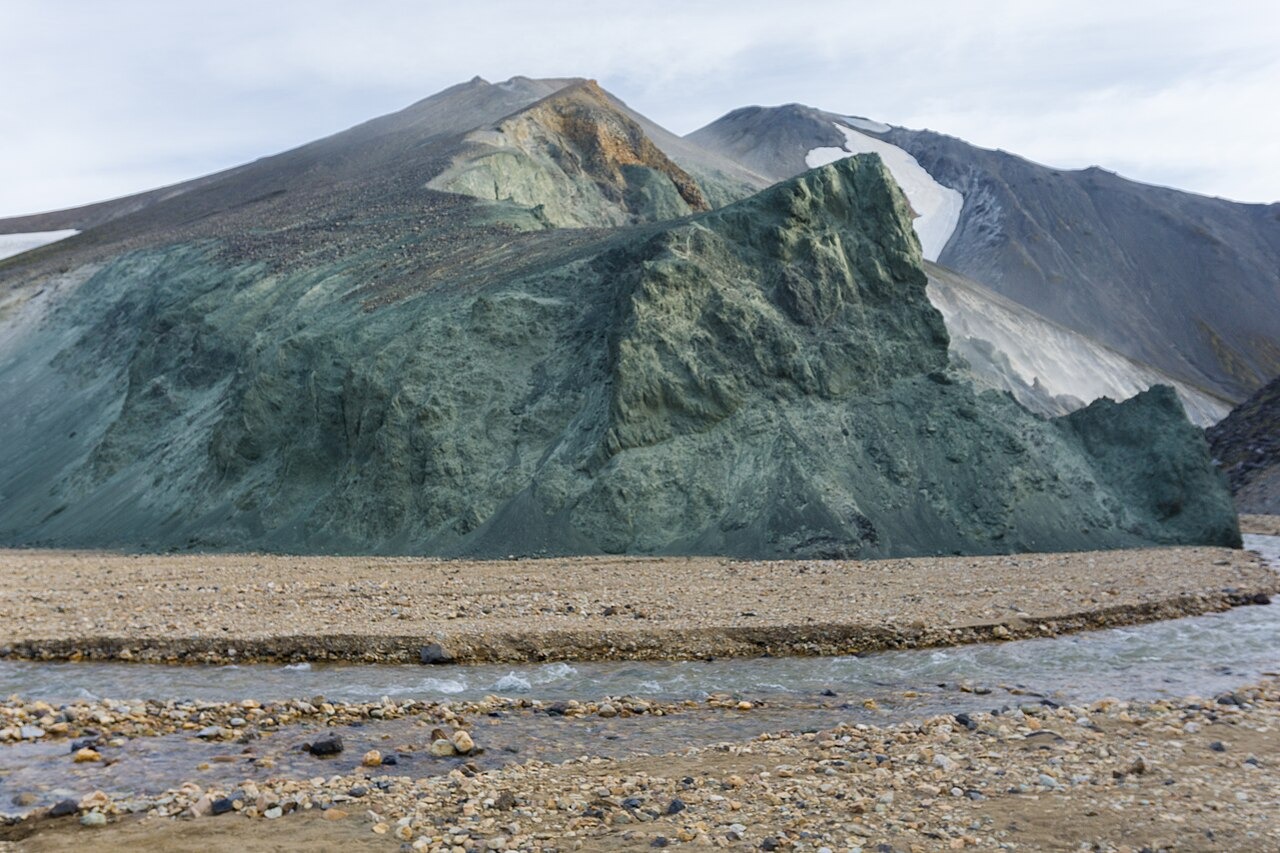
Rhyolite Edifice and Glassy Fragments
Part of Bláhnúkur was built by a subglacial rhyolite eruption. When rising magma met glacier ice, the extreme rate of cooling shattered molten rock into glassy fragments rather than allowing crystalline textures to develop, preserving a chemical and physical record of the eruption conditions within the rock fabric itself.
Research Estimate of Ice Thickness
Owen, Tuffen, and McGarvie, writing in the Bulletin of Volcanology, analysed dissolved water content in rhyolitic glass samples collected from the base and top of the edifice. The dissolved water shifts from roughly 0.7 to 0.3 weight percent between those elevations, from which the authors estimate approximately 400 metres of ice cover during the eruption. This figure is a research estimate derived from confining pressure. Research published in the Journal of Geophysical Research found no evidence of lava emerging above the ice surface, so the peak does not carry the classification of a tuya.
Grænagil Ravine and the Laugahraun Field
The Grænagil ravine cuts between Bláhnúkur and the Laugahraun lava field to its east, marking the boundary between the eroded subglacial edifice and the younger surface flow. The Environment Agency of Iceland places the peak within the Fjallabak Nature Reserve, a protected landscape defined largely by the Torfajökull volcanic geology that produced both features.