
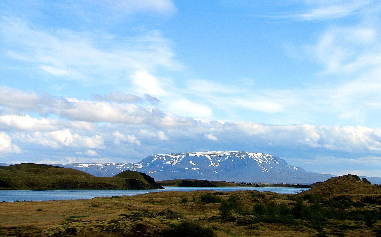
Tuya Formation and Glaciovolcanic Structure
The Icelandic Institute of Natural History places Bláfjall among the Mývatn district's table mountains produced by eruptions that occurred beneath glacial ice during the Pleistocene. In a subglacial eruption, rapid cooling under the ice cap produces pillow lavas and hyaloclastite tuffs rather than open lava flows, building a steep-sided mound. When the eruption's heat and volume finally breach the ice surface, lava spreads laterally and cools quickly, leaving the flat or gently domed cap that gives table mountains their characteristic profile. Smithsonian's record designates Bláfjall a Pleistocene table mountain without assigning a precise eruption age or current activity status.
Terrain Features and Boundary Records
The Icelandic Wilderness Commission's mapping and document archive for the Mývatnsöræfi area records cliff shoulders beginning near 900 metres on Bláfjall, a tuff ridge to the north of the mountain, and the named locality Bláfjallshalar to the south. The commission's review of old property descriptions cites the mountain by name, establishing it as a long-standing reference point in Icelandic land tenure records. This named topography — the cliff break at 900 metres, the northern tuff ridge, the southern halar — reflects the layered geology of a tuya whose flanks preserve the transition from subglacial to subaerial eruption products.
Regional Landmark and Ecological Context
A field study of rock ptarmigan (Lagopus muta) populations in northeast Iceland, published in PLOS ONE, used Bláfjall's 1,222 metre summit as a high geographic reference point for defining the study region. The citation establishes the mountain as a recognisable landmark at the upper end of the terrain surveyed, without placing field observations on the summit itself. Bláfjall is distinct from Bláfell, which reaches 1,204 metres, and from the Bláfjöll range near Reykjavík; its identity is fixed by the combination of spelling, the northeast Iceland location, and the surveyed elevation recorded in Icelandic government sources.