
Landform and Geology
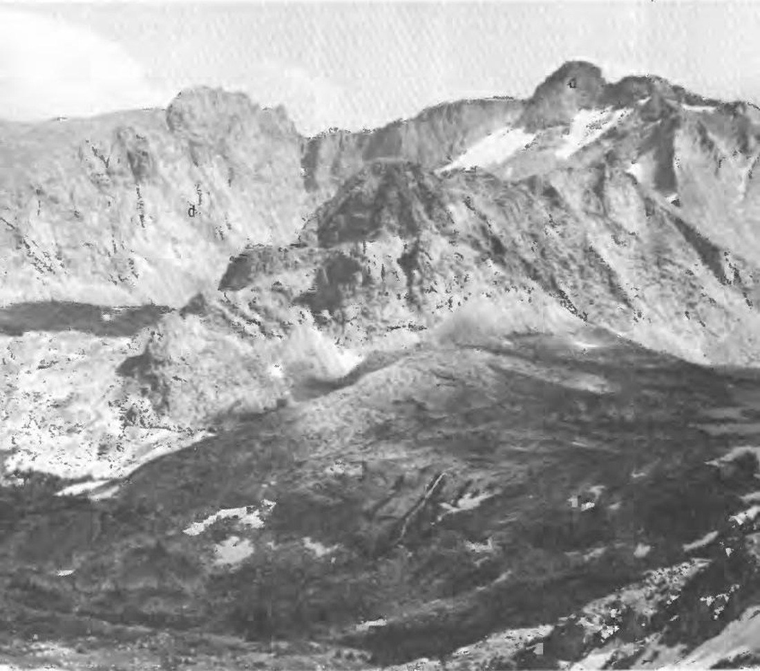
A U.S. Geological Survey photograph published in 1972 shows Black Tooth Mountain at upper right with a dark dolerite dike — solidified magma intruded into a fissure in the host rock — running below the top. To the right in that image, Loomis Lake occupies one of two glacier-gouged cirques separated by a serrated ridge.
Climbing History
W. B. Willcox's 1934 account describes a five-person party that made an early documented ascent in 1933, following unsuccessful attempts in 1928, 1930, and 1932. During a late-June 1933 reconnaissance the group found a note left by Warren Gorrell from his 1932 attempt; the summit party reached the top three days after a June 30 recon. Gorrell subsequently returned and climbed it solo.
Wilderness Designation
The Cloud Peak Wilderness, which encompasses Black Tooth Mountain, was established by the Wyoming Wilderness Act of 1984. The designation placed the peak and its surrounding cirques, including the Loomis Lake basin, within a federally protected landscape in the central Bighorn Mountains.