
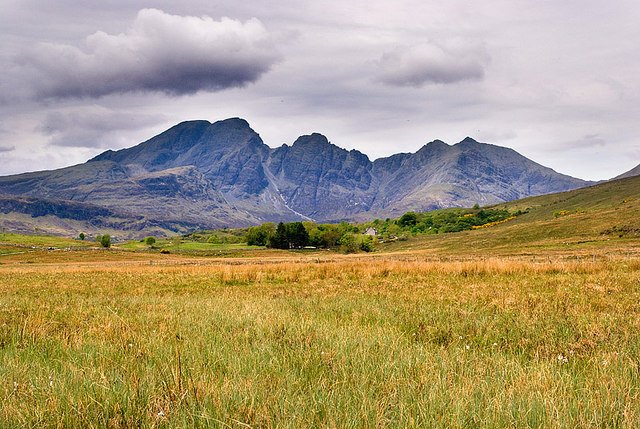
Name and Meaning
The name Blà Bheinn is thought to mean "blue mountain," and its etymology is itself a minor linguistic puzzle. Scholars believe it combines Norse and Gaelic elements: in Modern Norwegian blå means blue, but the Old Norse antecedent blá could also denote the colours blue-black and black. This ambiguity means the name may originally have described the mountain's dark, shadowed appearance rather than a purely blue hue — a fitting quality for a gabbro peak in the frequently overcast Hebridean light.
Topography and Rock
The mountain's gabbro composition links it directly to the Black Cuillin, whose serrated ridgeline is formed from the same intrusive rock. Gabbro's rough crystalline surface gives climbers and scramblers unusually reliable traction even when wet, a property that partly defines the character of routes across this corner of Skye.
North of Blàbheinn's summit, the ridge of Clach Glas extends toward two further peaks: Garbh-bheinn at 808 metres and Sgùrr nan Each at 720 metres. This northward chain creates a connected high-level traverse distinct from the more frequented main Cuillin ridge to the west, separated by the depths of Loch Slapin and its surrounding glens.
Approach from Loch Slapin
The standard walking route onto Blàbheinn begins on the eastern side of the mountain. A path departs the B8083 road at the shores of Loch Slapin, roughly 4 kilometres after the village of Torrin. From the road, the route follows the Allt na Dunachie burn uphill into the enclosed bowl of Coire Uaigneich. Above the corrie, the ridge sharpens and a short section of steep ground leads toward the summit, where a small amount of scrambling is required to reach the true top. The reporting also notes that alternative routes exist beyond this standard eastern approach, though their details fall outside the verified notes.