
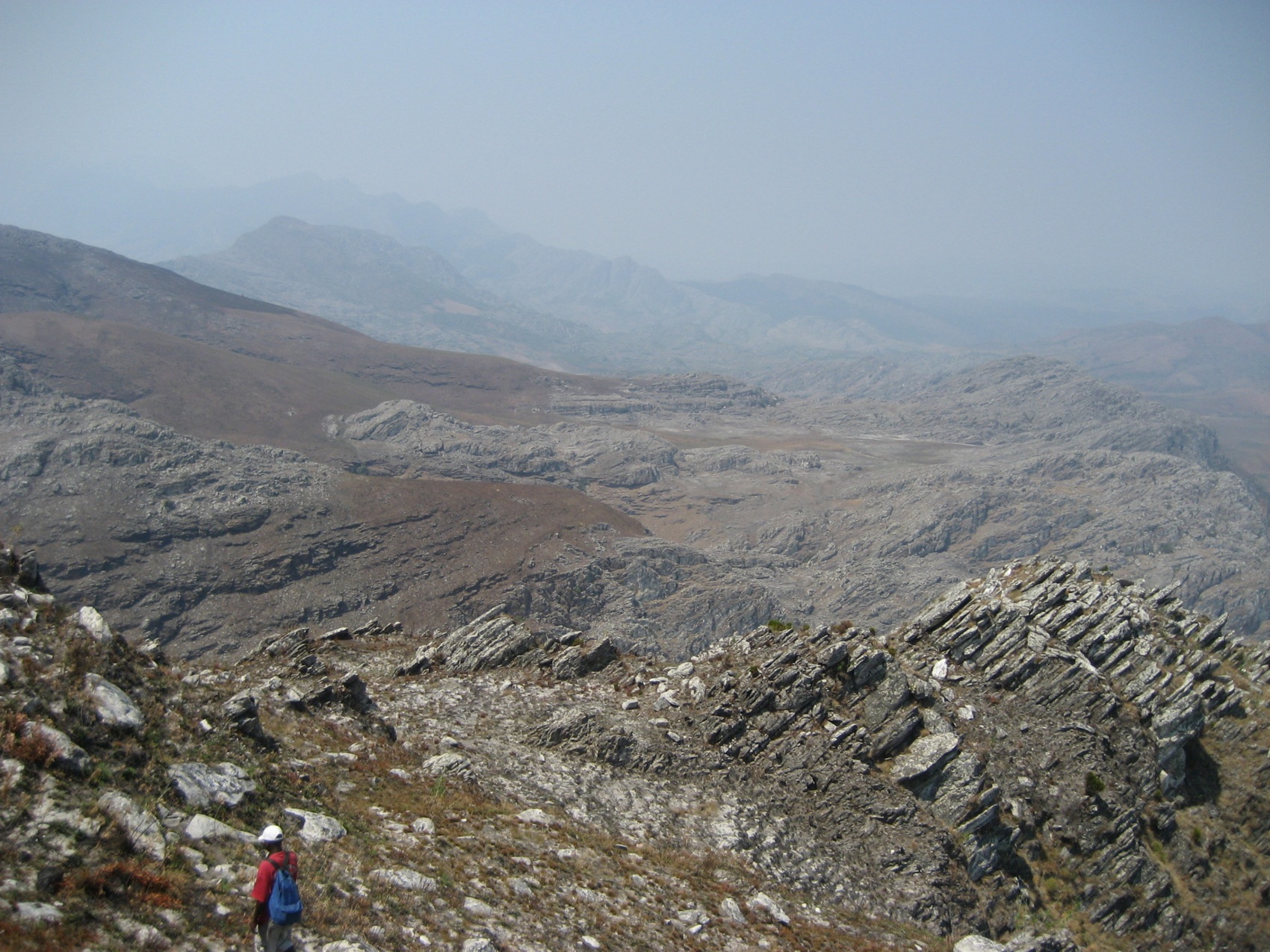
Relief, Geology, and High-Altitude Landscape
The Chimanimani Mountains are distinguished by their abrupt topography: rocky slopes, outcrops, and a mosaic of vegetation habitats that vary with altitude and aspect. Monte Binga forms part of this rugged relief, where the mountain environment contrasts with the lower-elevation protection zones within the same national park. ANAC describes the park's landscape as a set of mountain habitats that includes rock-dwelling formations and plant communities adapted to high-altitude conditions.
The transboundary location of the massif — with the summit in Mozambique and geological continuity into Zimbabwe — gives Monte Binga a regional dimension that transcends national administrative boundaries. On the Mozambican side, Chimanimani National Park, in the district of Sussundenga, constitutes the institutional framework for the protection and management of this mountain area.
Biodiversity and Scientific Inventory
A biodiversity survey conducted by ANAC in Chimanimani documented more than a thousand species of animals and plants in the conservation area. This inventory covered various parts of the park and adjacent low-altitude forests, and its results highlight habitat variation as a determining factor in the recorded biological richness. ANAC emphasised the diversity of ecosystems — from mountain formations to the forest cover of lower zones — as a central element in understanding the natural value of Chimanimani.
The ecological range of the park, extending from high-altitude rocky slopes to adjacent lowland forests, partly explains the significant species diversity documented. The recorded species are distributed across this altitudinal gradient and the inventory data reflect the conservation area as a whole, not exclusively the surroundings of the Binga summit.
History of Human Presence and a Management Milestone
ANAC documents the existence of rock paintings and cultural traditions in the broader context of the Chimanimani landscape, although the available sources do not locate these manifestations specifically at the summit of Monte Binga. This long-standing human presence coexists with the area's protected status and forms part of the cultural memory of the territory that the national park seeks to preserve alongside its natural values.
On a date reported by ANAC, Lionel Massicane became the first administrator of a Mozambican conservation area to reach the summit of Monte Binga — an achievement the authority recorded as an institutional milestone. This distinction is significant: ANAC characterises Massicane's accomplishment in that specific management context and not as the first ascent of the peak, whose history of earlier ascents is not addressed in the sources consulted.