
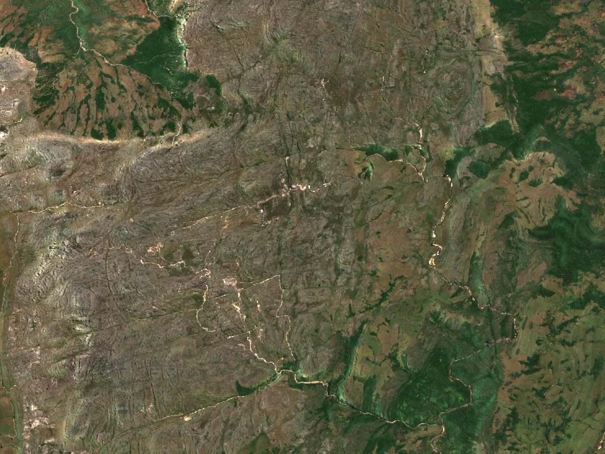
Relief and geology of the eastern slopes
The survey by Kew and its partners, published in 2016, describes north–south-aligned ridges and incised rivers on the Mozambican side, among them the Mufomodzi. Quartzite covers much of the massif, which also features areas of schist.
The 2010 reserve plan places the Nyamazi valley below Monte Binga and the settlement of Nhabawa in the Mussapa Grande valley.
Nhabawa and the path to the highlands
The ANAC map connects the Nhabawa area to Monte Binga by a path that crosses the highlands and passes through the site known as Mosquito Camp.
On 11 and 12 July 2019, the chief of Nhabawa guided a team that included Lionel Massicane, reserve rangers and students to the summit. According to the ANAC account, before departure the chief conducted an ancestral invocation ceremony.
Ecological survey on the slopes
The 2023 ecological study conducted by CEAGRE of Eduardo Mondlane University, BIOFUND and WCS included wooded grassland plots in the Monte Binga sector, where 25 species of herbaceous plants and grasses belonging to 15 families were recorded. For comparison, the plots in the Muvomozi area yielded 11 species distributed across 10 families.