
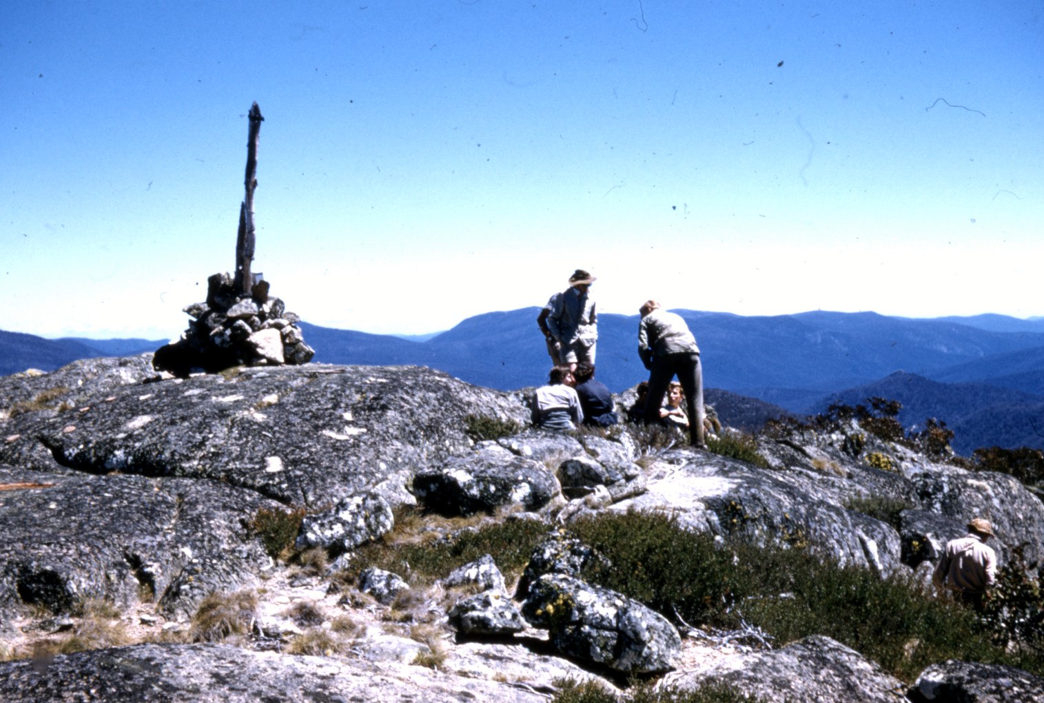
A Summit on the Territorial Boundary
At 1,911 m, Bimberi Peak sits precisely on the border between the Australian Capital Territory and New South Wales. That boundary position gives the summit its administrative distinction as the ACT's highest point, a status confirmed in the ACT park management plan.
A Surveyor's Work at the Snowline
The National Museum of Australia reconstructs the border surveying work of Harry Mouat, whose fieldwork brought him to Bimberi in early 1915. A museum photograph shows J. H. L. Cumpston visiting the old trigonometric marker on the summit with his sons in 1931, connecting the site to a continuing tradition of geodetic reference.
Rocky Ground and Mountain Plum Pine Heath
An ACT vegetation survey mapped Mountain Plum Pine heathland across rocky upper ground in the Bimberi area. This shrub community characterises exposed high-elevation terrain in the region, present on rocky substrates near the upper reaches of the range rather than at any single defined point.