
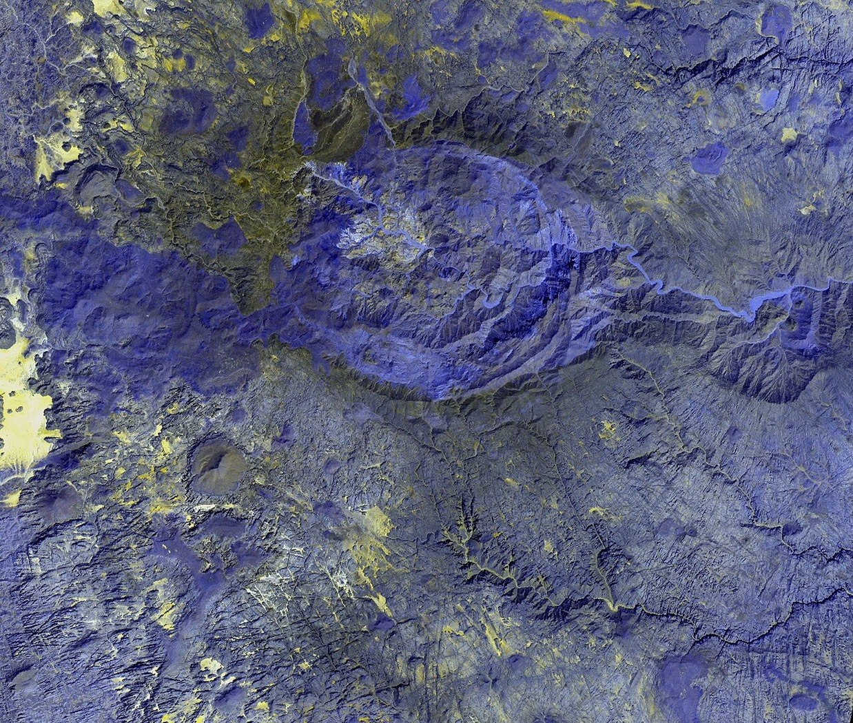
Northern Tibesti Relief and the Libyan Frontier Zone
The Tibesti massif extends across the Libya–Chad border, and Bikku Bitti marks the highest point within Libyan territory at its northern margin. The surrounding landscape is characterised by deeply dissected terrain, visible in the public-domain NASA Terra ASTER image acquired on 4 October 2002, which shows the summit area's eroded ridgelines and incised drainage channels without resolving subsurface composition.
Elevation and National Inventory Record
The figure of 2267 metres is established by the Defense Language Institute country profile for Libya and corroborated by the US geographic inventory held at NCSU. These sources identify Bikku Bitti as Libya's national elevation highpoint within the northern Tibesti range. The massif's highest terrain overall falls within Chad, where separate summits exceed 3000 metres.
Fullen's 2005 Documented Ascent
Mountaineer Eamon Fullen recorded a documented summit of Bikku Bitti during his third expedition, undertaken in November and December 2005. His first-person account, published on SummitPost, describes the approach and ascent conditions encountered during that expedition. No earlier ascent is claimed on the basis of currently available published sources.