
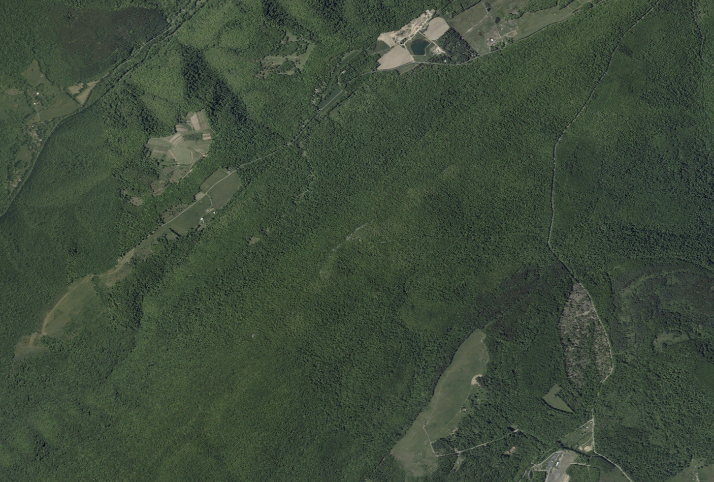
Ridge Landform and the Savage Valley
The Maryland Geological Survey documents Big Savage Mountain as part of a district shaped by extended ridgelines and wind gaps — low passes named in state geological reports of the Savage Valley area. These features characterize the elongated form of the ridge, with High Rock marking the high point of the crest.
Braddock's 1755 Route
During the French and Indian War, General Edward Braddock's expedition crossed the lower eastern slopes of Big Savage Mountain in 1755 on a military road pushed northwest toward Fort Duquesne.
Civilian Conservation Corps and High Rock
In the 1930s, Civilian Conservation Corps crews improved access and communication routes across the Savage River state lands. State records note former fire-tower remnants at High Rock, a structure that served early ground-based fire detection efforts coordinated through Maryland's expanding forest management program.