
Above the Alpine Meadows
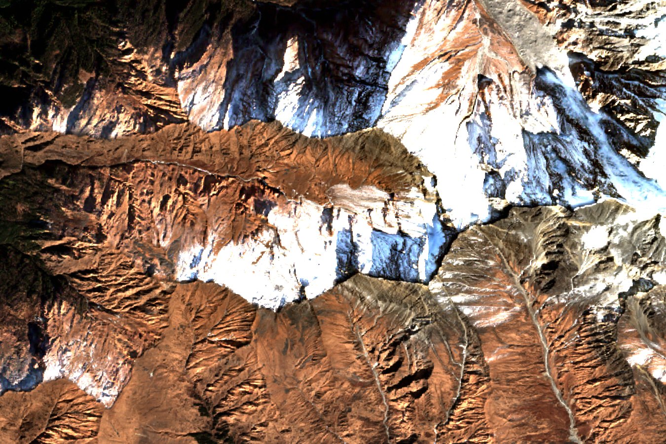
The grass-covered slopes of Bedni Bugyal give way to more exposed ground higher up. At Bhagwabasa, areas of bare rock sit beside snow on the slopes of the upper Roopkund basin. The Sentinel-2B image shows this contrast in January 2026.
The National Cooperative Development Corporation party visited the Kalu Vinayak shrine on its way to Bhagwabasa and stopped at the camp before continuing to the lake. The Himalayan Journal records another expedition passing Bhagwabasa en route to its base at Silasamudra before climbing Ronti.
Brahma Kamal
A participant who visited during the 2014 Nanda Devi Raj Jat described finding the alpine plant Brahma Kamal (Saussurea obvallata) on higher rocky ground around Bhagwabasa. The field notes published by eFlora of India place the observation below Roopkund.
The Nanda Devi Raj Jat
The Garhwal division describes the Nanda Devi Raj Jat as a pilgrimage honouring the goddess Nanda Devi, travelling from Nauti to Roopkund and Homekund. Chamoli district documents the pilgrimage of 2014. The field account from that year links Bhagwabasa with this high part of the route.
The Camp in Expedition Records
The Uttarakhand Tourism Development Board lists Bhaggubasa and Baggubasa in its itinerary to Roopkund. The 2018 expedition report writes Bhagwabasa, and the Himalayan Club uses Baguabasa in its report on Ronti.