
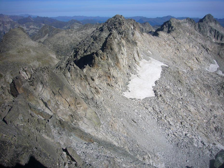
A granite divide
Fractured granite and granodiorite make up the north–south Besiberri ridge. It separates the Noguera Ribagorçana drainage to the west from the Noguera de Tor to the east. The Catalan mapping institute lists 3,023.4 metres for Besiberri Sud, while the international mountaineering federation’s list gives 3,030 metres for the same peak.
The routes taken in 1886 and 1927
On 25 August 1886, Packe and Dashwood reached Besiberri Sud from a camp beside Estany de Besiberri via the Coll dels Avellaners. They descended towards Caldes. On 2 August 1919 a party led by Lluís Estasen reached the peak from a camp at Caldes de Boí.
Estasen returned with Jofre Vila on 17 April 1927. They came from Caldes de Boí past the Gémena lakes and Comaloforno. They carried their skis on their backs along the crest and descended towards the Coll d’Abellers in strong wind. The valley refuge at 2,221 metres opened seventy-four years later, in 2001.
Measuring the rock glacier
A rock glacier lies in a northwest-facing cirque at the head of the Besiberri valley. In August 1993, geographers Javier Chueca and Asunción Julián surveyed 42 boulders along three lines across its surface. They repeated their survey in September 2003.
Over that decade the boulders travelled downhill at a mean rate of 8.72 centimetres per year on the upper line and 13.35 on the lowest line. The surface lowered across all three lines. A layer of rock debris covers the landform’s ice core.