
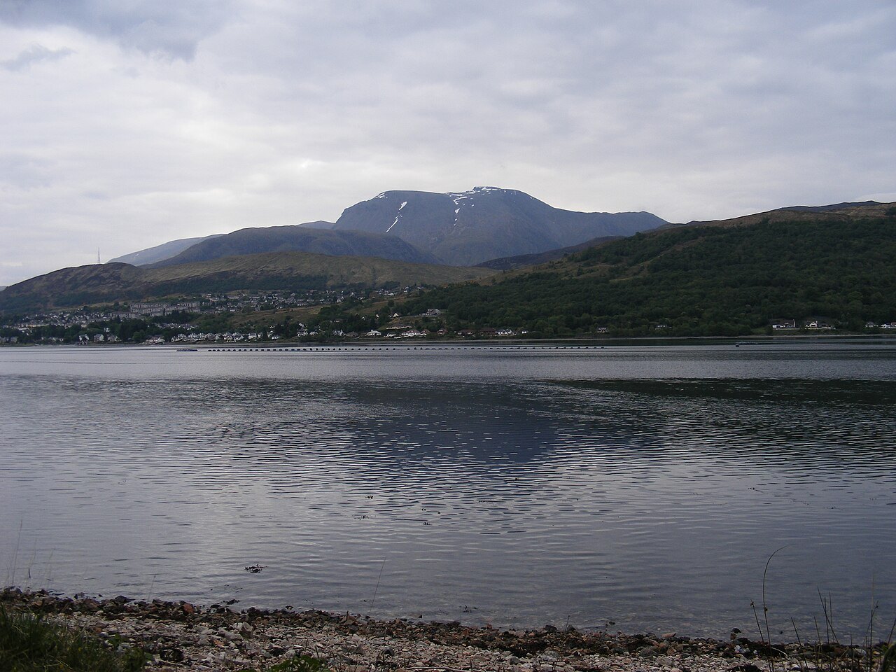
A broad summit above steep northern cliffs
The plateau and the steep North Face are two parts of the same mountain. NatureScot lists the Ben Nevis massif as a Site of Special Scientific Interest, in part because its rocks preserve evidence of the Caledonian mountain building that helped shape the Highlands. The designation extends beyond the top of Ben Nevis across a chain of neighbouring ridges and peaks.
A 2016 Ordnance Survey measurement put the highest natural point at 1,344.527 metres. Rounded to the nearest metre, that is 1,345 metres. The change from 1,344 on older maps reflects the precision of the new survey.
A laboratory above Fort William
The summit observatory opened in 1883 and operated year-round until 1904. Later efforts to recover the handwritten observations brought the hourly summit readings together with observations from Fort William. The two sets record the weather at opposite ends of the mountain’s vertical range.
The observatory’s surviving walls give that scientific work a scale. Long before an instrument could send its readings down automatically, the measurements depended on people living at the top through a Highland winter.
Why the mountain path needs maintenance
The Mountain Path climbs from Glen Nevis. Near the summit, heavy foot traffic and severe weather wear down the walking surface. In its account of recent repairs, the John Muir Trust describes sourcing stone that could withstand use and fit the mountain’s geology. Path upkeep is part of protecting fragile ground around a route that brings many visitors onto the plateau.