
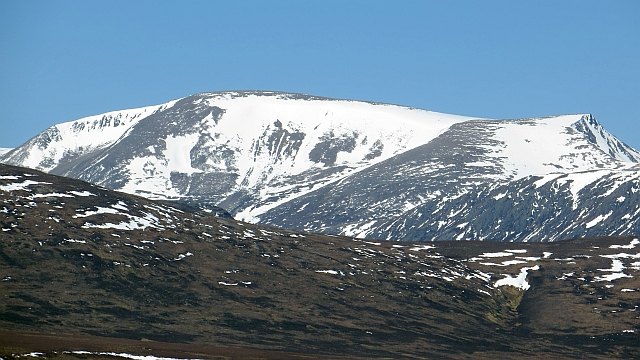
The Cairngorm Plateau's Highest Point
Ben Macdui is classified as a Munro—the designation given to Scottish summits exceeding 3,000 feet—and at 1,309 metres it is the highest of the Cairngorm Mountains. The Cairngorms form the largest upland plateau in the British Isles, and Ben Macdui's position on the southwestern edge of that plateau gives it a commanding relationship with the terrain on either side. To the west, the Lairig Ghru, one of Scotland's most storied mountain passes, cuts through the range; to the east lies Loch Etchachan, one of the highest lochs in Britain.
A Summit on a Historic County Boundary
The summit of Ben Macdui lies precisely on the boundary between the historic counties of Aberdeenshire and Banffshire, a geographical circumstance that reflects its position at the heart of the northeastern Scottish Highlands. This borderline character extends to its broader standing in the British Isles: at 1,309 metres, it falls just short of Ben Nevis (1,345 m), making it the second-highest peak not only in Scotland but across the entirety of Scotland, England, Wales, and Northern Ireland combined.
Scale and Standing
The significance of Ben Macdui within the Cairngorm range goes beyond raw elevation. As the highest point of the range, it anchors a massif defined by its broad, plateau-like character rather than sharp, isolated summits. The surrounding landscape—Loch Etchachan to the east, the deep trench of the Lairig Ghru to the west—underscores the mountain's role as a topographic divide at the core of the Scottish Highlands, distinguishing it clearly from the more isolated profile of Scotland's highest peak, Ben Nevis, to the southwest.