
Ice cuts into an old upland
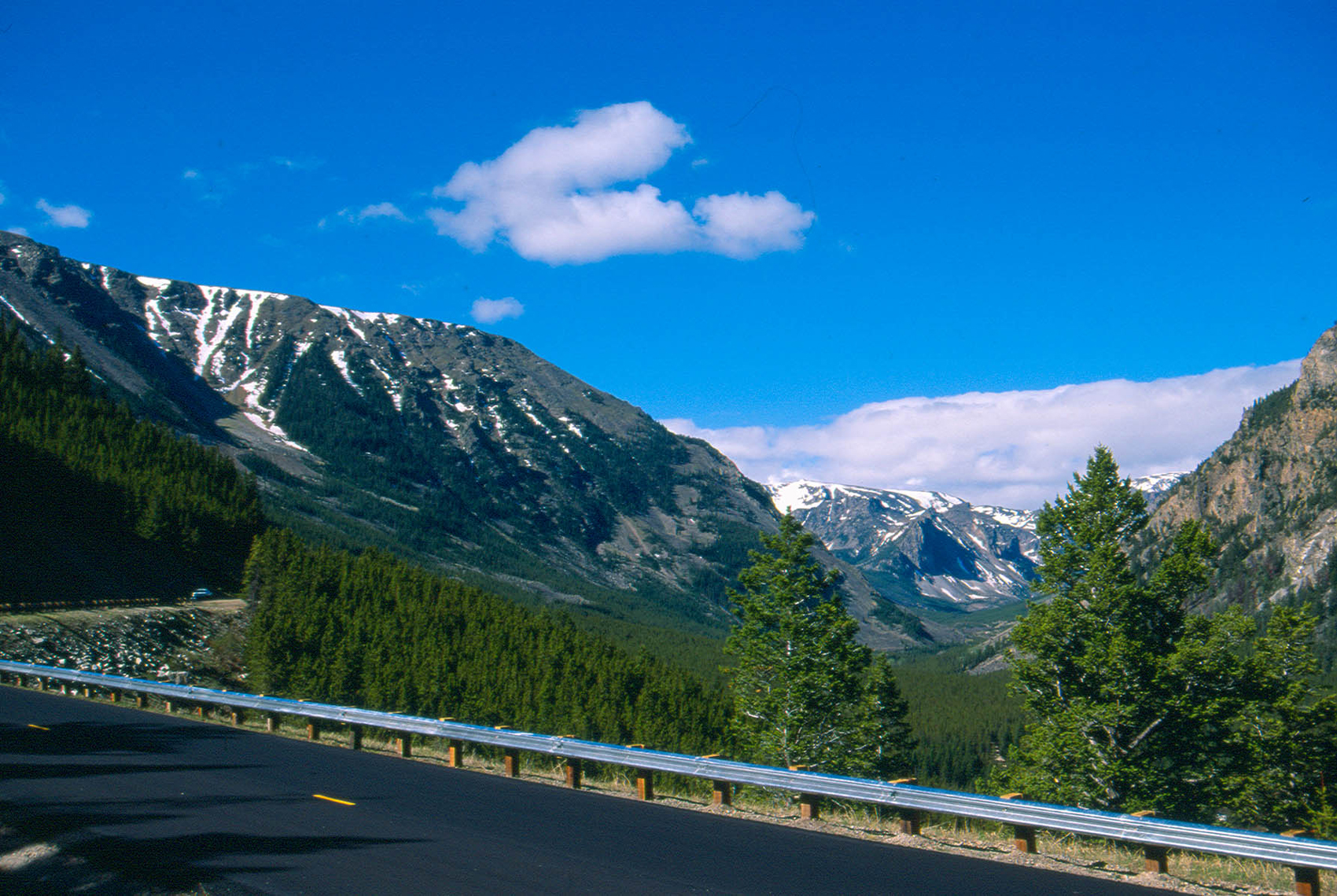
A U.S. Geological Survey aerial photograph looks southwest up Rock Creek between Highline Plateau and Hellroaring Plateau. The accompanying report describes streams cutting into an older upland and glaciers later deepening its valleys. The Wyoming State Geological Survey identifies gneiss and schist cut by dark igneous dikes across the glaciated upland.
Crossing toward the bison country
The U.S. Forest Service’s 1941 account describes a long-used route along the Clarks Fork toward the plains where Bannock and Lemhi people were among those who hunted bison. Bannock oral histories and historic maps recorded by the National Park Service preserve evidence of more than one route across the wider Yellowstone country.
A highway from canyon to plateau
The Red Lodge–Cooke City road opened in 1936. It climbs southwest from Red Lodge along Rock Creek, zigzags above the tree line and later descends toward the upper Clarks Fork. In 1941, the Forest Service described this stretch of high country under the heading “Beartooth Plateau—Clarks Fork Country.” The archival photo shows the northern approach through Rock Creek Canyon.