
Summit Morphology and the Bears Tooth Distinction
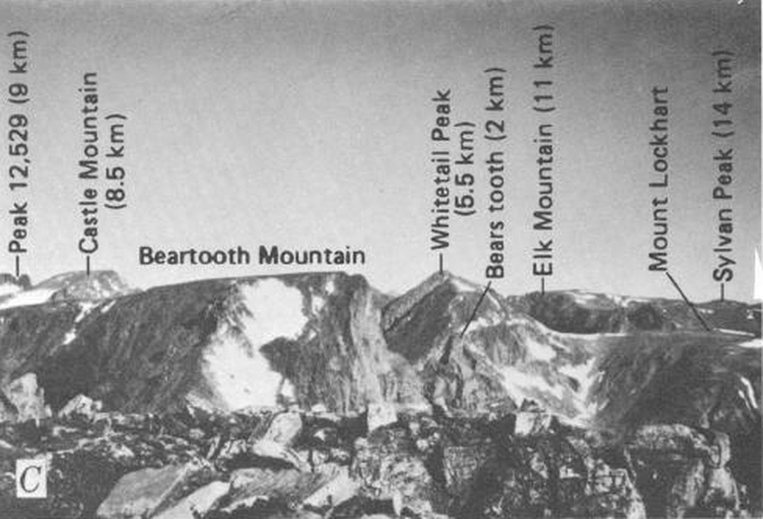
Simons and Armbrustmacher's 1976 USGS analysis measured the flat summit of Beartooth Mountain at approximately 20 hectares (50 acres), gently sloping toward the southwest. Their figure 3C photograph labels both Beartooth Mountain and the nearby Bears Tooth, a mapped rock pillar, in unambiguous positions. Bears Tooth carries its own mapped summit record and is a distinct feature from the broad plateau of Beartooth Mountain.
The Plateau Surface and a Landscape Hypothesis
The 1976 USGS report interpreted the high plateaus of the southeastern Beartooths as possible remnants of a re-exposed erosion surface that once lay beneath Cambrian sedimentary rock. The figure 3C photograph was taken from a high shoulder on the regional Beartooth Plateau, 1.6 km northwest of the outlet of Moon Lake. Mapped plateau remnants and patches of old Cambrian sandstone resting on the crystalline basement informed this hypothesis, framing a question about landscape history rather than establishing a confirmed age for the mountain's present form.
Range Context and Administrative Setting
The Montana State Library inventory records Beartooth Mountain as a Carbon County summit at 12,351 feet (approximately 3,765 m), distinct from unrelated mountains sharing the Beartooth name in Lewis and Clark County, Montana, and in California. The Beartooth Ranger District and the Absaroka-Beartooth Wilderness administered by the U.S. Forest Service cover portions of this range.