
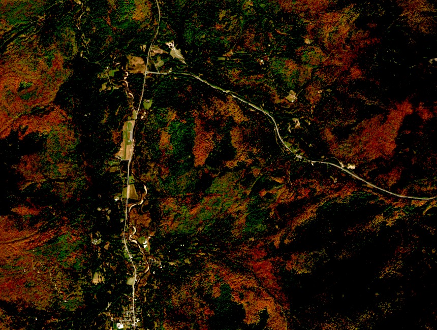
Position and Administrative Context
Baxter Mountain's summit falls within the Giant Mountain Wilderness; lower approach terrain sits in the Hammond Pond Wild Forest under a separate DEC unit management plan. Wilderness designation applies stricter use standards than the wild forest unit. From the summit, the Great Range — including Gothics, Armstrong, and the Wolfjaws — is visible to the west.
Trail Management and Erosion Response
The DEC's Hammond Pond unit management plan documents a rerouting of a lower approach section to reduce erosion. That work applies to wild forest land, not to the wilderness-designated summit zone. No rerouting of the upper summit approach under wilderness designation is recorded in the available sources.
Summit Ecology and Monitoring
The DEC's Ecological Scorecard identifies soil compaction and risks to rare plant communities at Baxter Mountain's summit. Specific species are not named in the available reporting, and the scorecard does not establish a definitive present status. The monitoring reflects DEC recognition that summits below the high-peaks threshold can harbor fragile vegetation.