
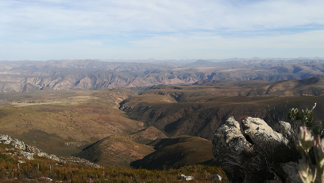
Scholtzberg and the Northern Range
Scholtzberg, at 1,625 m, is the named high point identified within the northern range in the Nelson Mandela University ACE Report 27. The surrounding ridgelines consist of steeply dipping quartzite beds that weather into thin, nutrient-poor soils supporting fynbos vegetation adapted to periodic fire and low phosphorus availability.
Valley Habitat Mosaic and Biome Diversity
The Eastern Cape Parks and Tourism Agency notes that the broader Baviaanskloof Mega-Reserve encompasses seven biomes, a figure reflecting the full reserve landscape rather than any single ridge or summit. The interplay of elevation, aspect, and river corridors across the valley floor and surrounding ranges produces this mosaic of thicket, fynbos, grassland, and riparian communities.
Geological Structure and Cape Fold Belt Context
The ranges owe their parallel orientation to Permian-age folding that compressed Table Mountain Group sandstone into a series of northeast-trending anticlines and synclines. Differential erosion along bedding planes has left the more resistant quartzite as prominent ridges, while softer interbedded shale units have been worn into the valley floors visible throughout the Baviaanskloof corridor.