
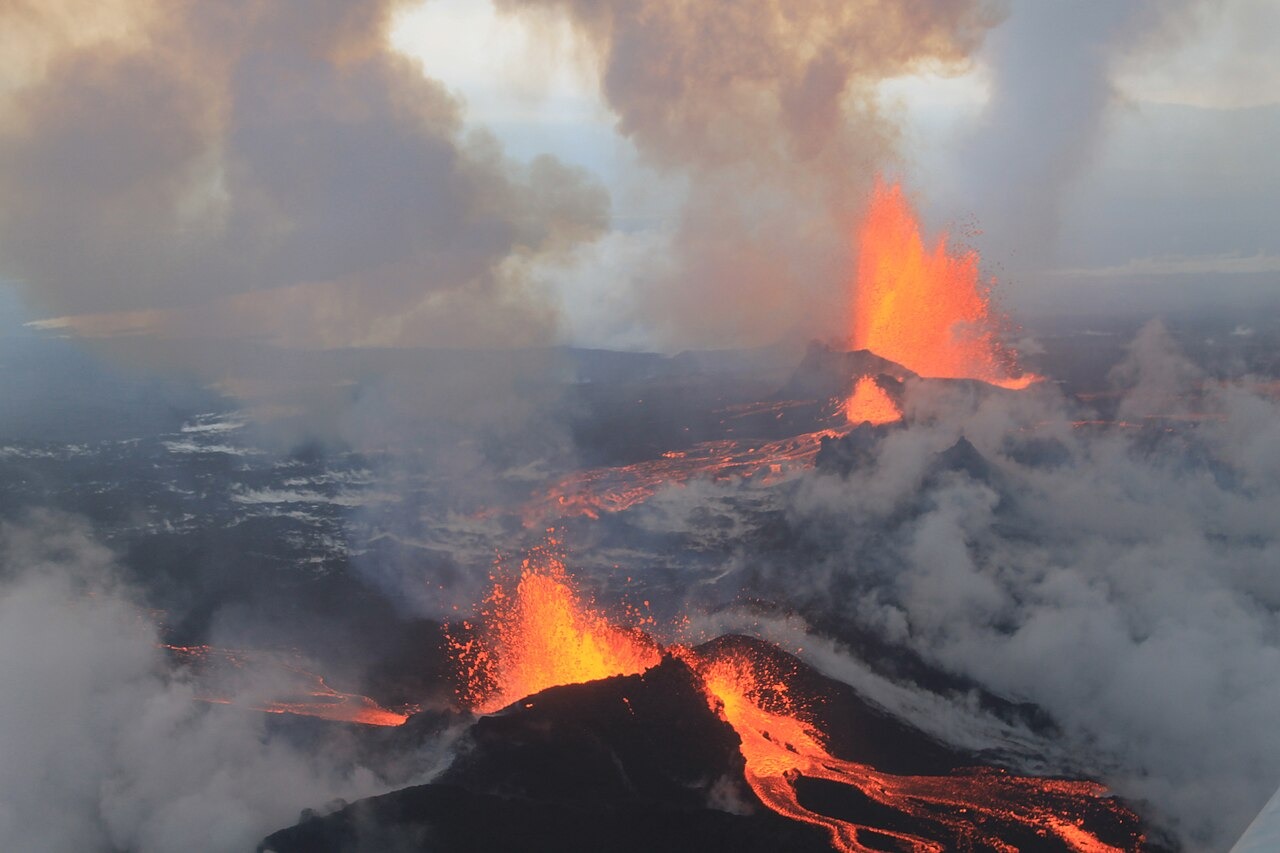
Structure of the Volcanic System
The Bárðarbunga volcanic system comprises the central ice-covered volcano and a fissure swarm extending approximately 190 kilometres from end to end, according to the Icelandic Meteorological Office. The central volcano sits beneath Vatnajökull ice at around 2,000 metres elevation, figures consistent with the Smithsonian Global Volcanism Program and the Catalogue of Icelandic Volcanoes. The fissure swarm reaches well beyond the glacier margin.
The 2014–2015 Holuhraun Eruption
On 16 August 2014, magma began migrating from the central volcano through an underground dike traveling roughly 48 kilometres northward. A small initial outbreak occurred on 29 August 2014, followed by the sustained eruptive phase at Holuhraun from 31 August 2014 through 27 February 2015. During that effusive phase, lava covered an estimated 84 square kilometres of the Holuhraun lava field north of the glacier.
Caldera Subsidence and Ice-Covered Terrain
University of Iceland research documents gradual subsidence of the ice-filled caldera as magma was withdrawn through the dike during the 2014–2015 event, with the ice surface above the caldera depressing by up to 65 metres. The eruptive volume at Holuhraun was estimated at approximately 1.4 cubic kilometres in that study.