
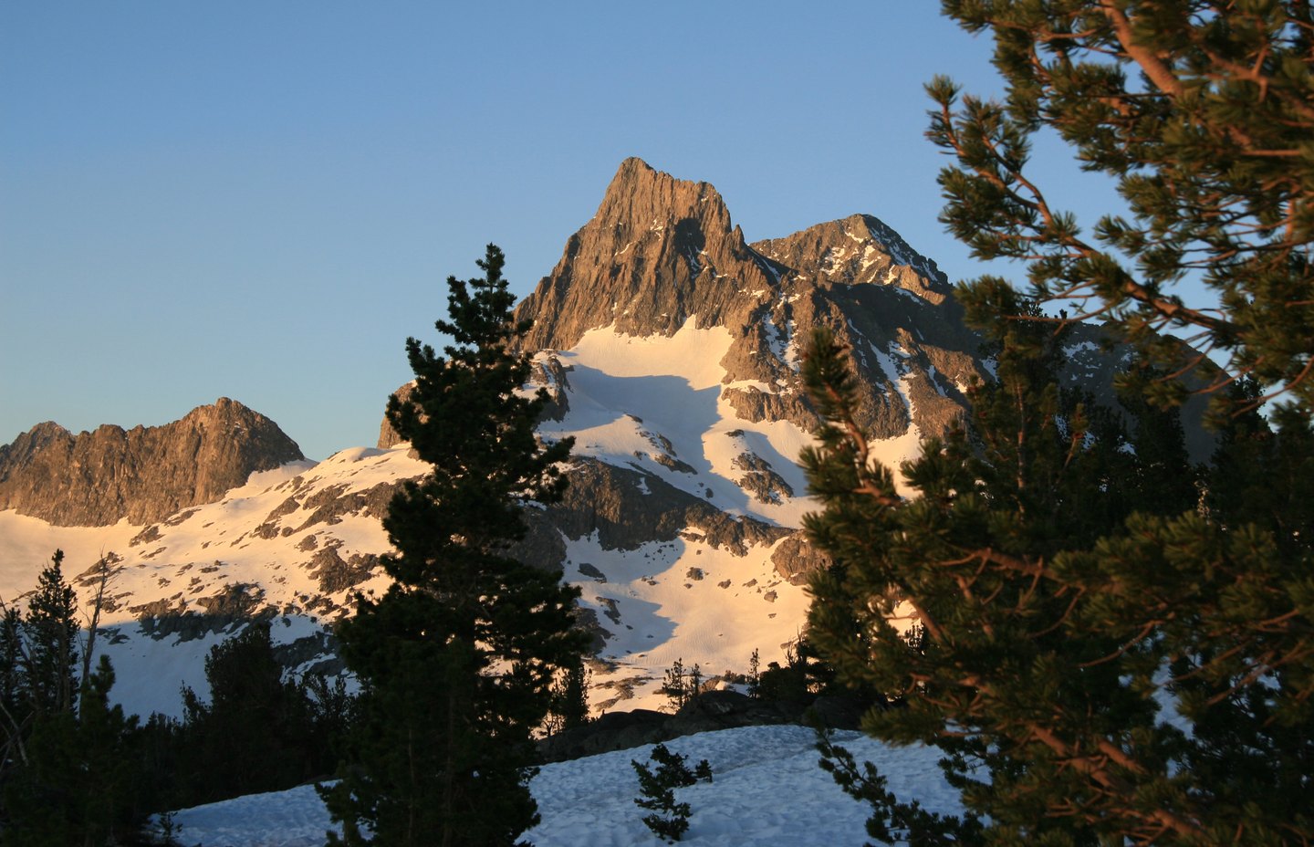
Naming and First Ascent
According to Francis P. Farquhar, drawing on Joseph N. Le Conte's account, USGS topographer Willard D. Johnson named the peak for the cloud banners that stream from its summit. Johnson and John Miller made a recorded ascent on August 26, 1883, establishing the earliest documented climb of the peak.
Glacial Setting
A USGS geomorphology study illustrates the cirque basin holding Thousand Island Lake, depicting glacially smoothed quartzite ledges and cracking along joints in the lake's foreground with Banner Peak rising in the background. The lake occupies the hollow carved at the foot of the range, where past glaciation shaped the terrain.
Ritter Range Crest
The USGS report treats the narrow Ritter Range crest as a divide between adjacent upper glacier systems. The range's position as a drainage divide gives Banner Peak a role at the boundary between glacier basins, within the same glaciated terrain as Thousand Island Lake.