
The Plateau Above the Mbomou
Within Bangassou many of the upland soils are rich in iron. Lower down, the riverbanks have soils that stay wet for long periods. The Central African Republic environmental assessment identifies waterlogged soils along the river margins, separate from the drier plateau soils above, and notes that topographic depressions collect water without draining freely. The Mbari and Hio drain into the Mbomou. Nearby depressions can retain water in the rainy season.
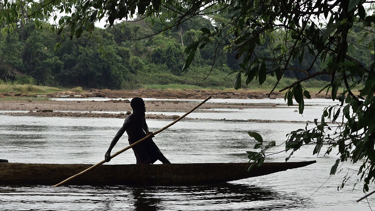
The Mbomou itself flows westward along the southern edge of the city before feeding into the Ubangi farther downstream. A 2017 photograph of a dugout canoe on the river between Bangassou and Ndu shows a canoe passing a gravel bar and forested banks.
River Records and Trade
Hydrologist Cyriaque Rufin Nguimalet published in 2022 an analysis of discharge records from the Bangassou gauging station spanning 1951 to 1995, including periods reconstructed to fill gaps in the historical record. The study compared Bangassou flow data with measurements from the Ubangi at Mobaye, using the long record to identify how high and low flows changed across decades.
Commercial activity along the same stretch of river was documented much earlier. A photograph printed in 1906 shows rubber purchases at Bangassou, placing the town within the regional trade networks of that period.
Forest and Community Management
Between 1999 and 2004, a programme supported by the Global Environment Facility and UNDP tested decentralised, village-led approaches to managing the wider Bangassou forest. The initiative aimed to combine biodiversity protection with sustainable resource use and to bring local communities directly into governance of forest areas.
A subsequent Central African Republic national forestry readiness proposal, submitted in 2013, cited the 1999–2004 Bangassou project as part of the country's experience with participatory forest management.