
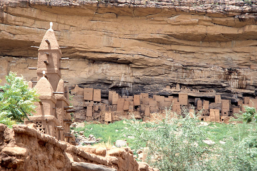
Sandstone Plateau, Escarpment, and Plains
The escarpment organises the landscape into three distinct natural zones: the plateau above, the cliff face itself, and the plains below. Fractures in the sandstone allow water to seep downward, feeding springlines at the cliff base. Shaded ravines along the face retain moisture, sustaining vegetation within an otherwise arid setting and giving the escarpment a ecological character distinct from the surrounding terrain.
Dogon Architecture Within the Protected Area
Within the 289 villages of the World Heritage property, Dogon communities maintain a range of built forms documented in UNESCO reports. Granaries for food storage and residential structures occupy the escarpment and its surroundings. The togu na, a low communal gathering structure, serves as a documented venue for deliberation and collective decision-making, and stands among the architectural forms the inscription recognises.
1989 World Heritage Inscription
The World Heritage Committee formalised the inscription in 1989, defining the property's outstanding universal value across both cultural and natural criteria. The current statement of outstanding universal value sets the protected area at 400,000 hectares, a scope that encompasses the escarpment's geological formations alongside the living communities and architectural heritage of the Dogon villages within its boundaries.