
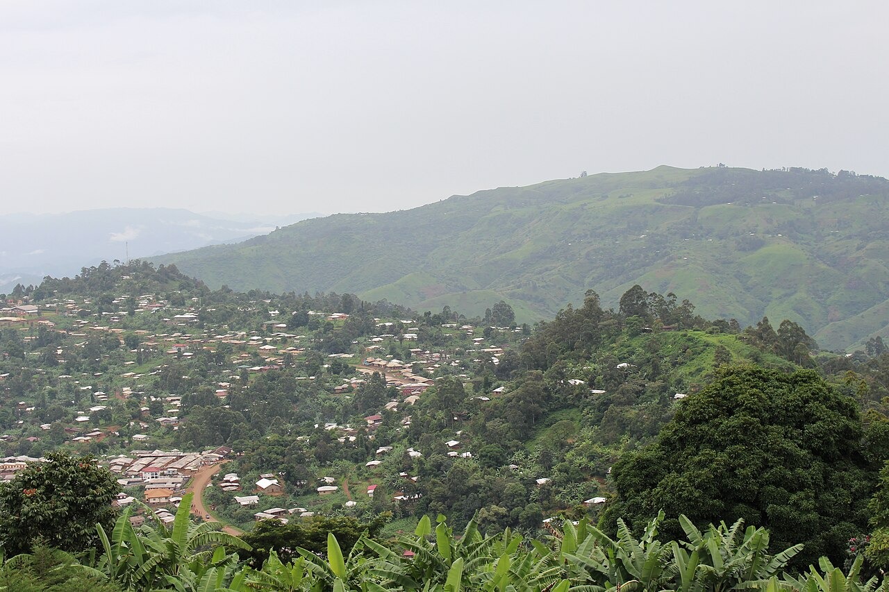
Volcanic Plugs and Upland Terraces
Afungang’s study combined aerial photographs, satellite imagery and older maps to examine the Bamenda uplands. It identifies volcanic plugs, terraced upland surfaces and rugged slopes where thick vegetation persisted.
Weathered Soils and Road-Cut Instability
A 2026 field inventory by Mbafor and colleagues on the Befang–Wum segment of the ring road corridor, published in Discover Hazards, mapped 59 landslides and characterised 20 of them in detail. The study found that many shallow slides had transitioned into debris flows on cut slopes underlain by deeply weathered granitic and volcanic-derived soils. The researchers connected slope failures to the combination of road excavation exposing unconsolidated material and the intense rainfall characteristic of the highlands.
A Loop Through Distinct Highland Zones
The African Development Bank’s project summary describes a loop of about 357 kilometres. From Bamenda it passes through Ndop, Kumbo and Wum before returning to Bamenda.