
Volcanic History
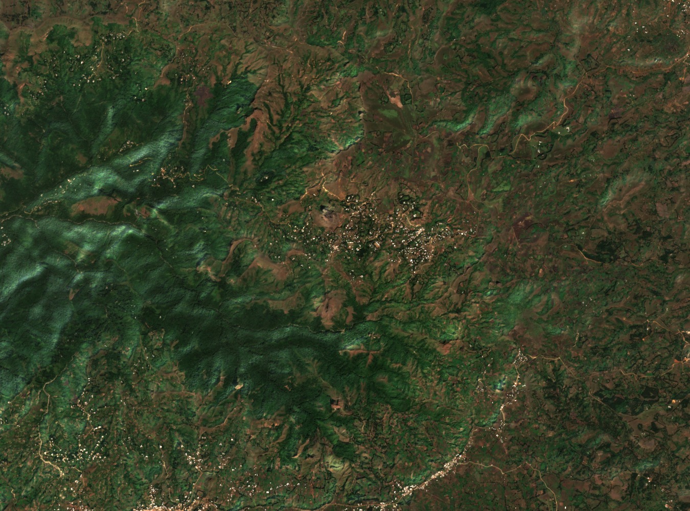
The Bamboutos massif is one of the principal edifices along the Cameroon Volcanic Line, a chain of alkaline volcanoes in western Cameroon. Gountié Dedzo et al. document its development as a multistage process. An early alkaline basalt shield formed around 21 million years ago, representing one stage of that history. Between about 18.5 and 15.3 million years ago, a further stage brought caldera collapse alongside the deposition of widespread ignimbrites, deposits left by hot ash flows that record the scale of pyroclastic activity during that interval.
Summit Mélétan and the Caldera
Gountié Dedzo et al. identify Mount Mélétan as the summit of the Bamboutos massif at 2,740 m and report a caldera measuring roughly 13 by 8 kilometres, a broad volcanic depression.
Amphibian Surveys in Forest, Grassland and Cultivated Areas
A study published in Oryx sampled forest, grassland, and cultivated area plots on the Bamboutos massif between March 2014 and May 2016. Those surveys recorded Leptodactylodon axillaris and Cardioglossa oreas and examined the habitat associations of each species across the vegetation types sampled during that period.