
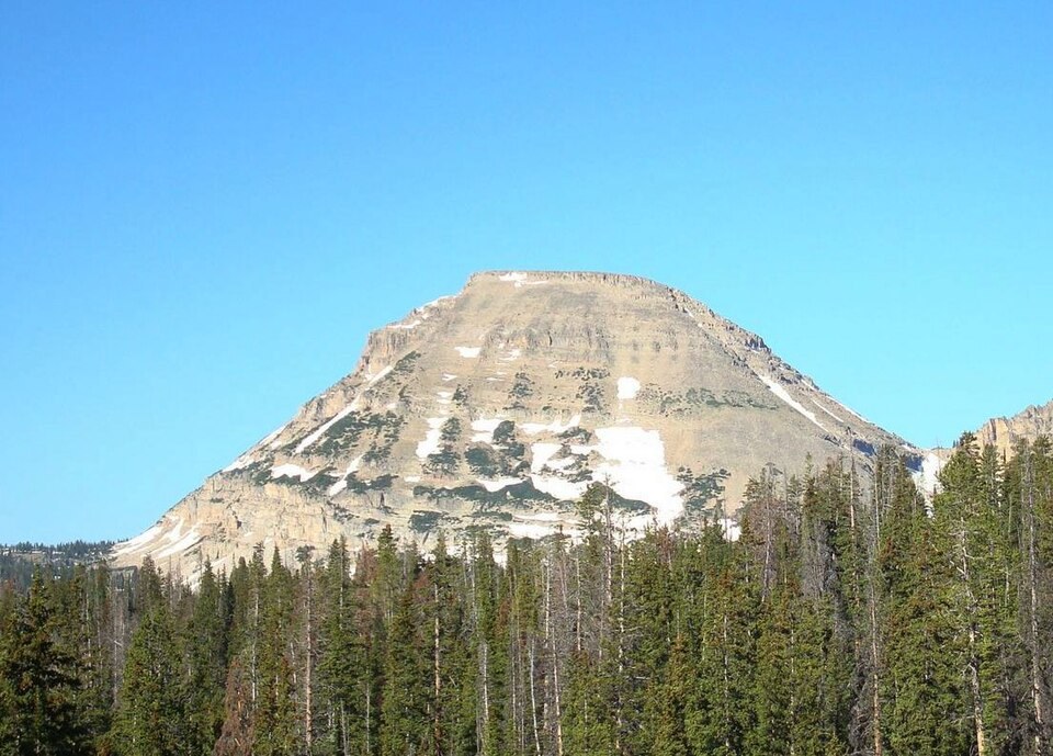
Summit and Pass as Distinct Features
The Mirror Lake quadrangle maps both Bald Mountain and Bald Mountain Pass as separate named features at different elevations. The Utah Geological Survey records that glacial ice crossed the range at the pass, a finding that distinguishes the saddle from an ordinary low point in the ridge. Most ice in the region originated in steep accumulation basins along the divide, and passes like this one indicate where ice was thick enough to overtop the crest rather than remaining contained within individual cirques.
Glacial Evidence in the Western Uintas
Troughs carved by moving ice and moraines deposited at glacier margins are the primary physical record of glaciation in this part of the range. The state geological survey documents both features in the western Uintas, connecting the landforms visible today to periods of sustained ice accumulation in the high terrain around the crest.
A Proposed Regional Climate Connection
The Utah Geological Survey raises the possibility that Lake Bonneville, the large Pleistocene lake that occupied much of the Great Basin, contributed increased moisture to the western portion of the Uinta range, potentially influencing precipitation patterns and glacial ice extent there. This proposed mechanism offers a regional-scale explanatory framework for glacial features observed in the western Uintas.