
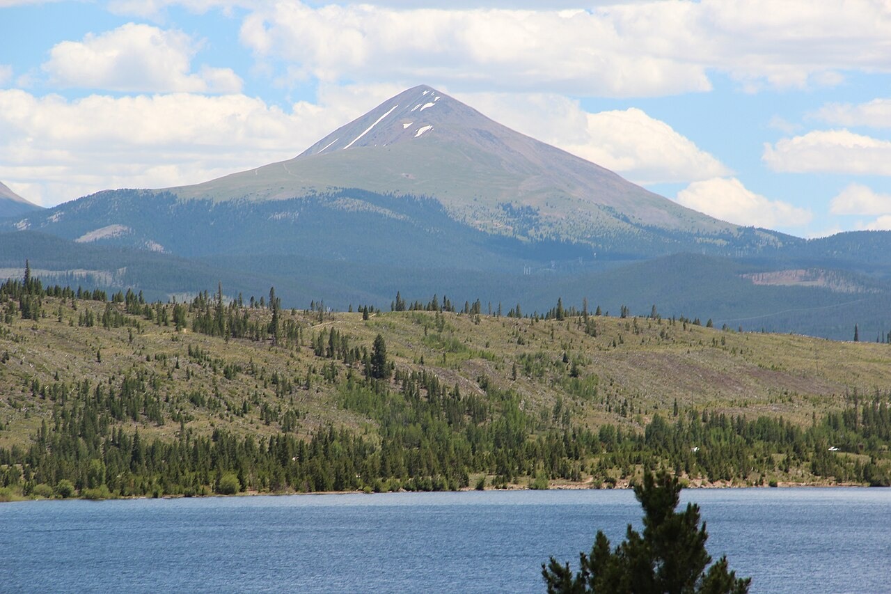
Summit Geology and Glacial Deposits
Colorado Geological Survey mapping of the Boreas Pass quadrangle records glacial and colluvial deposits across the broader terrain surrounding Bald Mountain. These deposits reflect the glacial and periglacial history of the high valleys that separate the summit from the Blue River drainage to the west.
Mining Landscape of the Surrounding Gulches
Named mining sites documented on the Boreas Pass topographic quadrangle — including Sally Barber and other operations — occupy the gulches around the mountain. USGS reporting on the Blue River region links these workings to the wider nineteenth-century mineral extraction economy that brought industrial infrastructure across Summit County.
Boreas Pass Railroad and Baker's Tank
A narrow-gauge railroad serving the region included a water stop at Baker's Tank on the Boreas Pass route, recorded on USGS historic trail mapping. USGS circular documentation notes the line's abandonment in 1938. Bald Mountain's profile above the valley floor is visible from Dillon Reservoir, as shown in a July 2016 photograph taken from that vantage.