
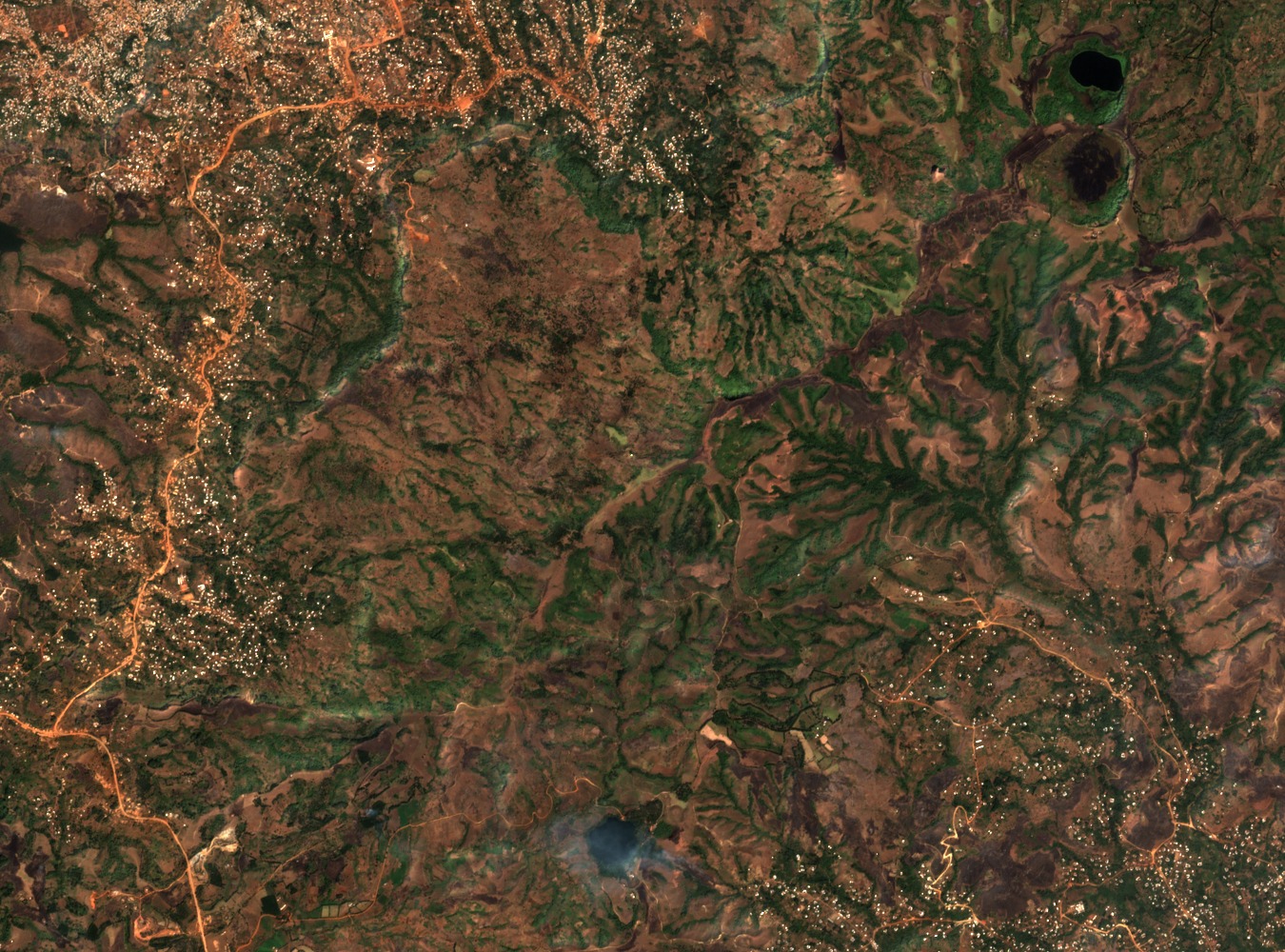
The 1953 Bafut-Ngemba Forest Reserve
The Cameroon government gazetted the Bafut-Ngemba Forest Reserve in 1953, placing it south of Mendankwe within the 1,800 to 2,500 metre elevation band. The Bamenda I Council Development Plan records the reserve as a distinct protected area within the Northwest Region's highland landscape, separate from other named forest reserves in the Bamenda uplands.
Native Montane Forest and Eucalyptus Planting
A 2019 field study by Fogwe, Tume, and Fouda published in Environment and Ecosystem examined eucalyptus plantations around the reserve near Bamenda. The study documents native montane forest alongside areas of planted eucalyptus established to meet local timber demand, and identifies agricultural land as a further element of the patchwork surrounding the gazetted reserve.
Regional Setting and Government Documentation
The Northwest Region diagnostic produced by Cameroon's Ministry of Economy and Planning identifies the Bafut-Ngemba reserve within a broader account of the region's upland resources, noting the Mubang escarpment as a defining landform nearby. The highlands function as an upland zone rather than a single mapped summit, and government planning records treat the area in terms of its forest reserve designation and surrounding land uses.