
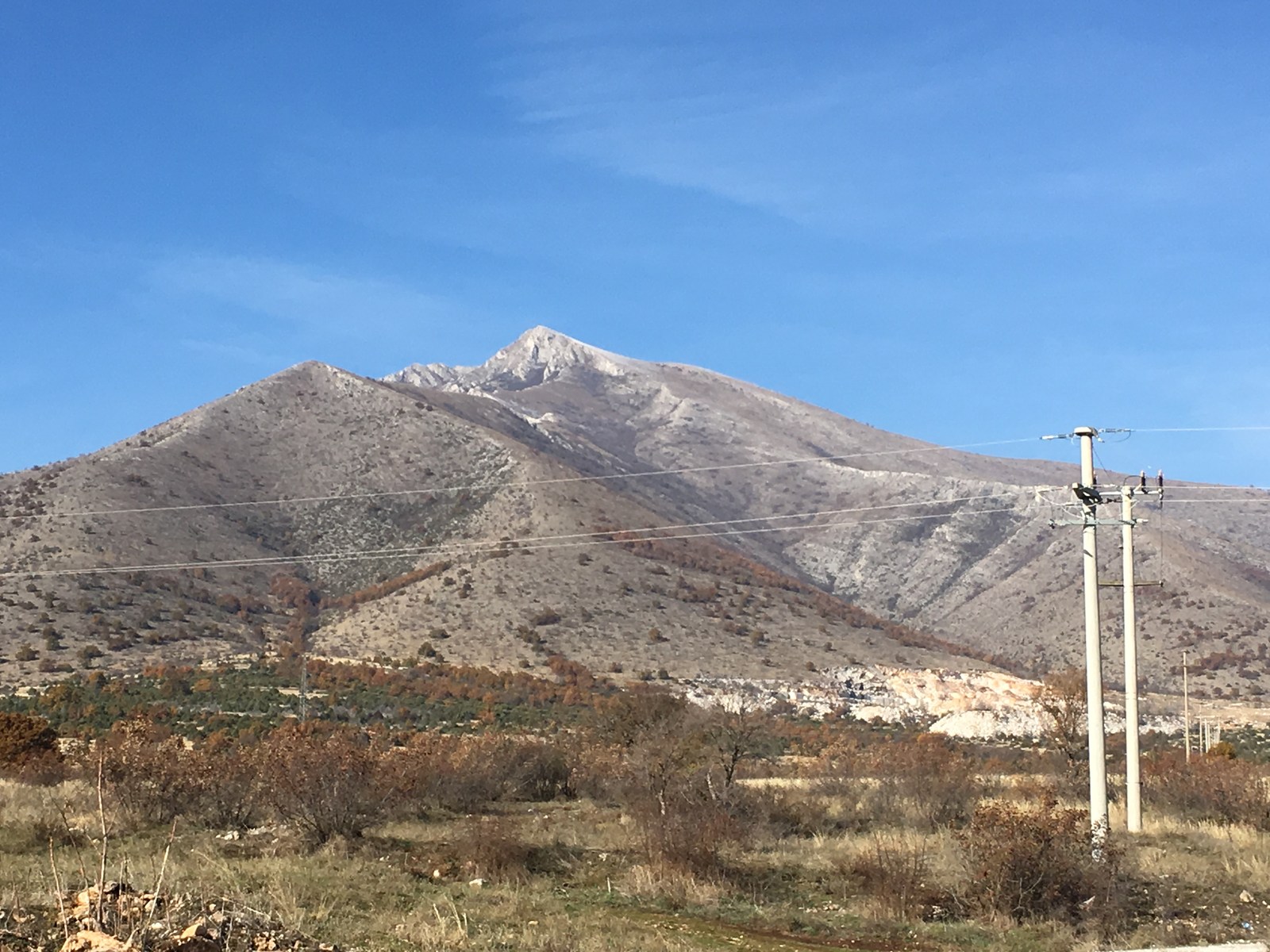
Ridge Structure and Named Sections
The Babuna range extends along a northwestern to southeastern axis from Goli Rid at its northwestern end to Pletvar Pass at its southeastern limit. Kozjak stands toward the southeastern portion of this ridge. The central section carries the separate name Mukos and reaches 1,499 metres at its high point, a summit recorded under both the name Luta and the alternative name Kula.
Geology and Karst Features
The government geological survey records gneiss and mica schist across the northern part of the range, granodiorite through the central section, and thick marble concentrated around Kozjak, Sivec, and Pletvar in the south. Within the marble on Kozjak, dissolution has produced karst flutes, sinkholes, and caves. One named shaft, Golem Kozjak, descends to a documented depth of 113 metres.
Pletvar Pass and the Archaeological Record
Pletvar Pass sits at approximately 1,000 metres and links the Pelagonian Plain with the route east toward the Crna River valley. An archaeological survey above the hamlet documented old extraction pits alongside stone blocks that retain visible tool marks. Dark-veined calcitic marble from Pletvar has been proposed as a source for several reused Roman pieces at Late Antique Stobi, among them a spiral column shaft, though the chemical similarity between this marble and Proconnesian marble leaves the suggested provenance open to question.