
Sandstone Geology and Relief
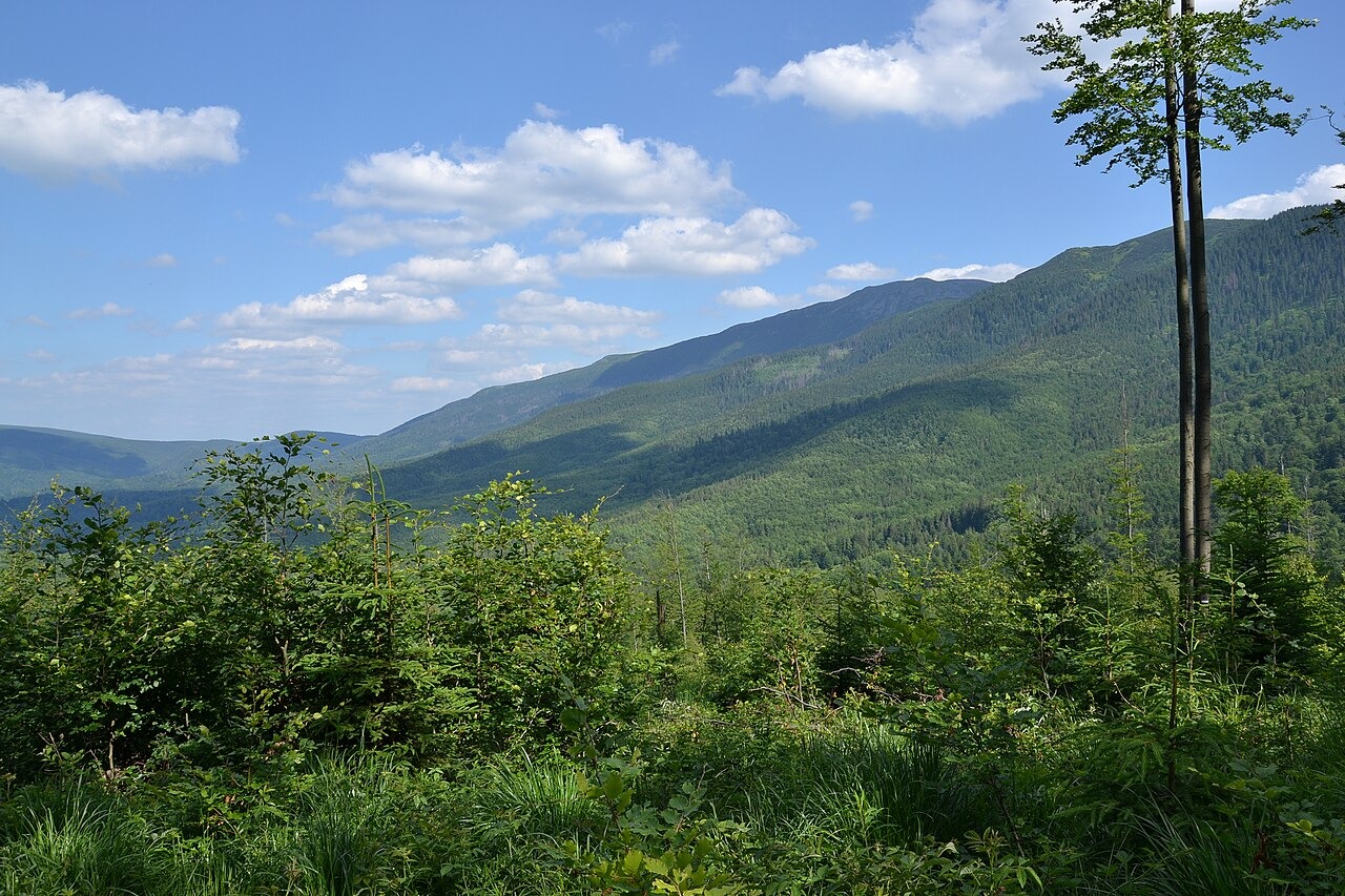
The Polish Geological Institute describes the massif as built primarily of resistant Magura sandstone and notes that more easily weathered layers alternate within the sequence. A combination of tectonic structure and slope movement accounts for the uneven relief visible across the massif's flanks. These contrasting rock properties govern where steeper scarps form and where gentler debris slopes accumulate, shaping the terrain that subsequent vegetation colonised.
Vegetation Belts and the Biosphere Reserve
UNESCO's Man and the Biosphere Programme, which registered Babia Góra as a biosphere reserve in 1976, identifies a clear succession from forest through dwarf pine to open alpine habitat with increasing elevation. The massif also sits on the principal European drainage divide recorded by UNESCO, separating catchments that drain to the Baltic from those that drain to the Black Sea.
Summit Obelisk and Border Communities
The Polish Tourist and Sightseeing Society records that an obelisk was erected on the Diablak summit in 1876 to commemorate a Habsburg archduke's ascent, an event that predates the obelisk's erection by some years. UNESCO notes that communities on the Polish and Slovak sides of the border developed distinct local traditions over the same period, a divergence that the massif's position as a long-standing political boundary helped produce.