
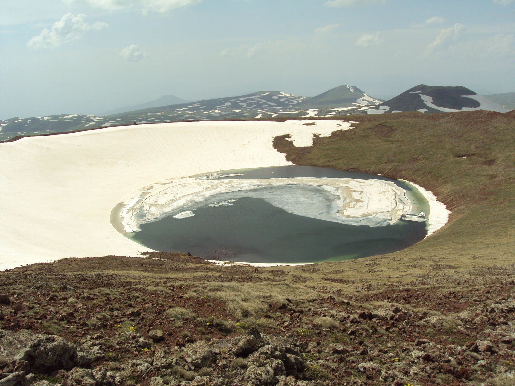
Crater and Cone Geology
A 2025 field study describes a cone of scoria, lapilli and volcanic bombs rising roughly 350 m above its base. Its summit crater is about 500 m across. Armen Manukov’s photograph of 26 June 2011 shows snow on one side of the crater and ice along the edge of the lake.
The cone is part of a volcanic group with Kamurj and Tar. Kamurj means bridge in Armenian, and the ridge of lava and scoria links the Azhdahak and Tar cones.
High-Resolution Relief Survey
In 2025, an ISPRS study surveyed Ajdahak and three other Armenian volcanoes using drone photography and real-time satellite positioning. Its detailed maps trace gullies, lava surfaces and other features on the cone, showing how water and erosion have cut into the volcanic slopes.
Azhdaha-Yurt and the Carved Stones
In their report published in 1931, Nikolai Marr and Yakov Smirnov recount travelling to the highland encampment of Azhdaha-Yurt and recording carved stones there.
Research published by the National Academy of Sciences of Armenia revisits the carved stones of Azhdaha-Yurt and Dikhtash, known as vishaps. Some are shaped like fish. During visits in 2005, the researchers also documented stories about the stones from people spending the summer in the mountains.