
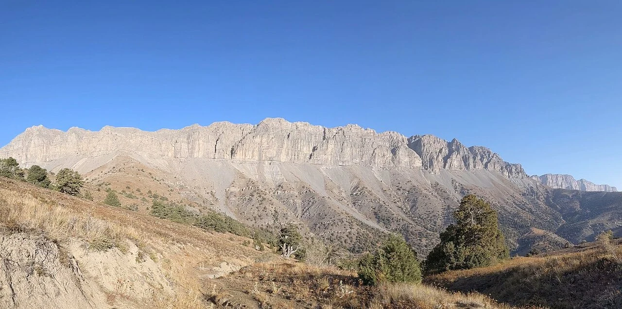
Summit and Names
The Turkmenistan government records the elevation as 3,139 m; the UK Permanent Committee on Geographical Names lists 3,138 m. The PCGN factfile also documents two further toponyms: the Uzbek form Ayribobo and the formal Turkmen state designation Beýik Saparmyrat Türkmenbaşy belentligi. Both elevation figures and all three names refer to the same high point on the border ridge.
Köýtendag Setting
The peak lies within the Köýtendag range, a limestone massif whose ridgelines and deep gorges span the Turkmenistan–Uzbekistan border. Government sources describe the wider landscape as including documented cave systems and juniper stands; those habitat descriptions apply to the broader Köýtendag area rather than to the summit itself. A photograph by Eric Gilbertson shows the summit massif from an estimated southeast vantage, conveying the rocky profile of the high terrain.
Expeditions and Fieldwork
The Turkmenistan government has reported national-flag expeditions to Aýrybaba, recording the raising of a flag at the country's highest point. Field researchers from the Center for Large Landscape Conservation conducted a mission to the Köýtendag region that included high ridges of the wider massif, with work focused on species documentation and protected-area survey across that broader setting.