
Volcanic Stratigraphy Exposed Along the Gorge Walls
FAO field surveys of the Awash valley document exposed sections where alluvial surfaces overlie volcanic outflows, with alternating resistant lava beds and softer tuff layers visible in the gorge walls. These exposures record successive volcanic events associated with Rift Valley formation and provide a readable cross-section of the region's geological sequence within the surveyed reach.
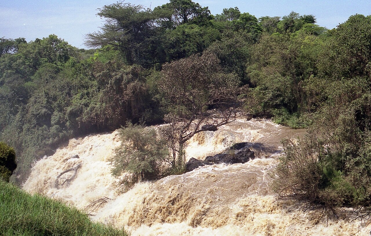
Awash Falls and Riparian Woodland at the Gorge Head
Awash Falls, where the river drops into the gorge, is documented by the Ethiopian Wildlife Conservation Authority as a primary feature of the park. Gallery woodland composed of acacia and riparian species lines the river corridor adjacent to the falls, forming a distinct habitat zone that the park authority identifies separately from the open acacia woodland and plains covering the broader park landscape.
Protected Area Status Under the 2014 Designation Regulation
Awash National Park operates under a formal designation issued by the Ethiopian Council of Ministers in 2014, establishing its boundaries and conservation mandate. The Ethiopian Wildlife Conservation Authority administers the park, which protects the gorge alongside savanna plains and volcanic terrain in one of Ethiopia's longest-established wildlife conservation areas.