
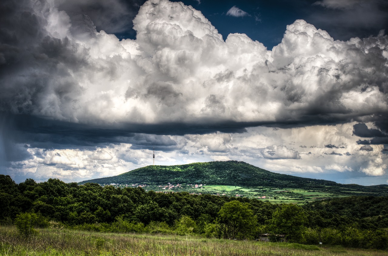
Geology
University of Belgrade Faculty of Mining and Geology field surveys trace a sequence of Mesozoic formations across Avala, including limestone, clastic sediments, and ophiolitic rocks. The geological transect also identifies a local reverse fault, a structure along which one crustal block moved upward relative to the other along a fracture plane.
Summit History
The medieval Žrnov fort once occupied the top of Avala. The Belgrade Cultural Heritage Protection Institute records that the current Monument to the Unknown Hero was built between 1934 and 1938 to a design by sculptor Ivan Meštrović. The Mountaineering Federation of Serbia places a named representative point at 506 metres near the summit memorial, a figure distinct from the 511-metre natural high point identified by the City of Belgrade. A broadcast tower also stands on Avala's ridge, separate from the memorial.
Protected Landscape
Forestry body Srbijašume administers the protected Avala landscape. The City of Belgrade describes dominant oak woodland on the mountain and records the presence of European yew.