
Geological Foundation: Damara Orogeny and Mica Schist
Around 550 million years ago, the Damara Orogeny folded and metamorphosed marine sediments across what is now central Namibia. The process produced mica schist that underlies much of the Khomas Hochland. The Atlas of Namibia identifies this event as central to the region's topographic character, leaving behind a corrugated upland of ridges and valleys.
The Lichtenstein Extension and Summit Terrain Near 2,400 Metres
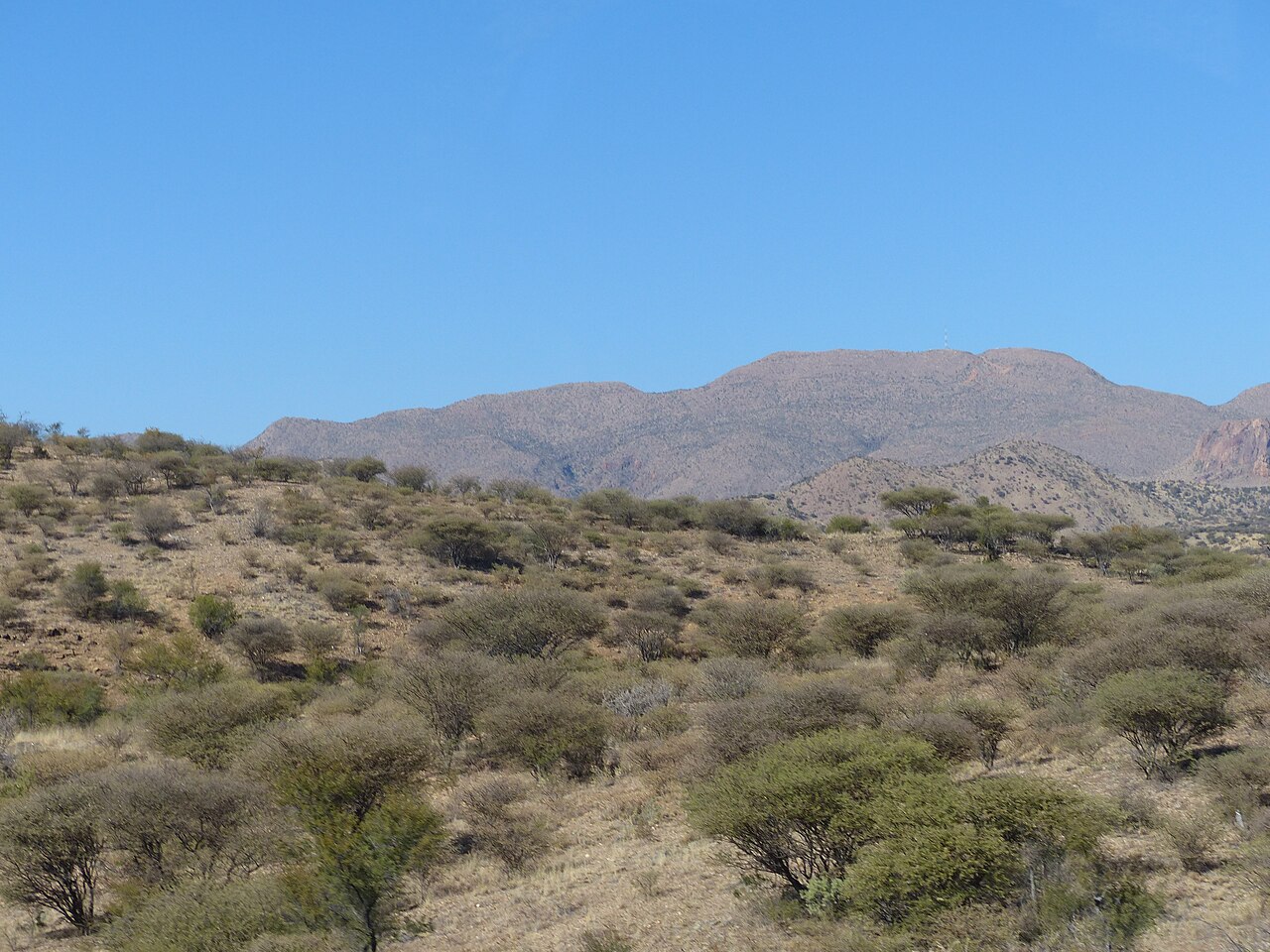
The Auas Ridge extends southward through the Lichtenstein section, where elevations approach approximately 2,400 metres. At these heights, stony mountain soils and exposed rock outcrops create conditions distinct from the lower slopes. Relief and substrate shift markedly over short distances, shaping the terrain that field researchers have used to delimit habitat boundaries.
Habitat Differentiation: Findings from the 2017 Vegetation Survey
A 2017 field study by B. Strohbach on the Auas–Oanob Conservancy distinguished steep stony mountain-soil and outcrop plant communities from the assemblages found in riverbeds and drainage lines. The survey demonstrated that water availability, soil depth, and slope gradient drive habitat boundaries within the range. Those findings apply to the specific plots sampled and should not be extended to characterise the entire massif.