
The Name and Its Record
The Northern Territory Place Names Register records both Attila and the variant Artilla alongside the colonial name Mount Conner. The register preserves Ernest Giles's published account of the colonial name, given in honour of South Australian politician M. L. Conner. Both designations are carried forward in official usage from that written record.
Sandstone Mesa Landform
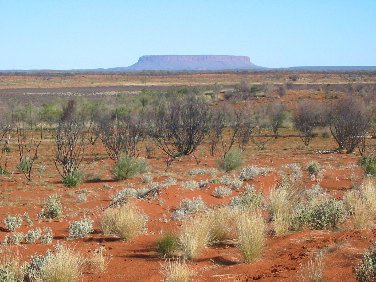
At 859 m, Attila / Mount Conner is a sandstone mesa whose flat cap and abrupt vertical edges are the landform's defining characteristics. The steep drop from summit level to the surrounding plain accounts for the visual prominence the formation commands across the low country of the southern Northern Territory.
Position on the Southern Plains
Attila / Mount Conner rises in the arid interior of the southern Northern Territory as an isolated elevated form above the surrounding plains. The breadth and flatness of its upper surface distinguish it among inselberg-type landforms of the region. The Geoscience Australia national gazetteer records its elevation at 859 m.