
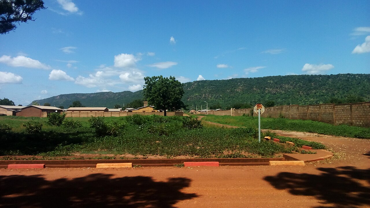
Pendjari River Headwaters and Seasonal Hydrology
The Pendjari River rises within the Atacora range between the towns of Tanguiéta and Natitingou in Benin, as recorded in the Pendjari Biosphere Reserve participatory management plan. Seasonal flow from these headwaters feeds pools and wetland areas throughout the broader Pendjari landscape, where the interplay of geology and rainfall patterns shapes habitat conditions across the reserve.
Koutammakou: Batammariba Tower Houses of the Atacora Foothills
The Atacora foothills frame the Koutammakou landscape, home to the Batammariba people whose earth tower houses — each called a takienta, collectively sikien — are built using techniques passed across generations. UNESCO inscribed Koutammakou as a World Heritage Site in 2004 for its extent in Togo, and a boundary extension formally incorporated the Benin portion in 2023 following an ICOMOS review.
Geology of the Pendjari Biosphere Reserve
Within the Pendjari Biosphere Reserve, UNESCO documentation identifies exposed quartzite and schist as the characteristic rock types of that specific setting, alongside local granitoids present across the wider reserve. The Pendjari reserve holds both national park and biosphere designations, and its geological record informs ongoing participatory management of the landscape.