
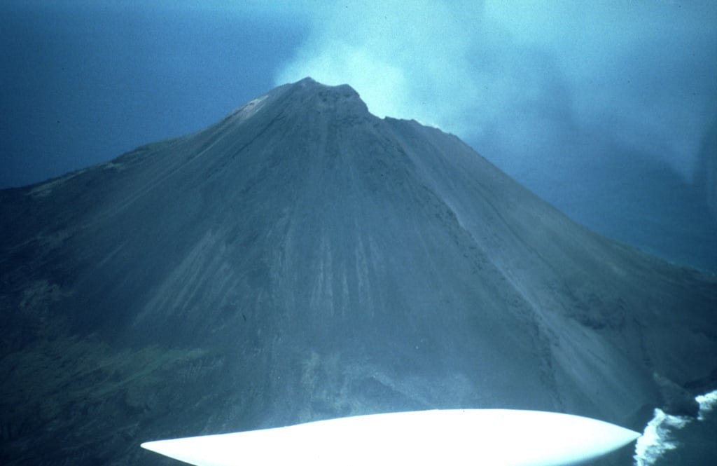
A Cone Shaped by Collapse
The south flank bears a large landslide scar of undetermined age, the remnant of a slope failure at some point in the volcano's history. Alternating layers of lava and pyroclastic deposits classify Asunción as a stratovolcano, its internal structure built through repeated eruptions that accumulated the material later subject to collapse.
The 1906 Eruption
The Smithsonian Global Volcanism Program records an explosive eruption in 1906, with lava descending parts of the flanks. Earlier reports of activity exist in the literature but lack sufficient evidence to support specific dates. The 1906 event stands as the most clearly documented eruption in the island's historical record.
Steam Observations in 1992
USGS aerial surveys in May 1992 recorded steam rising from the summit crater. Steaming reflects hydrothermal activity — groundwater heated by residual magmatic heat venting to the surface — rather than an eruption in progress. The observation extends the evidence for an active hydrothermal system without adding to the eruption record beyond 1906.